 |
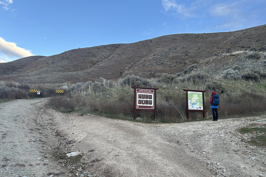
Zosia studies a map at the trailhead. |
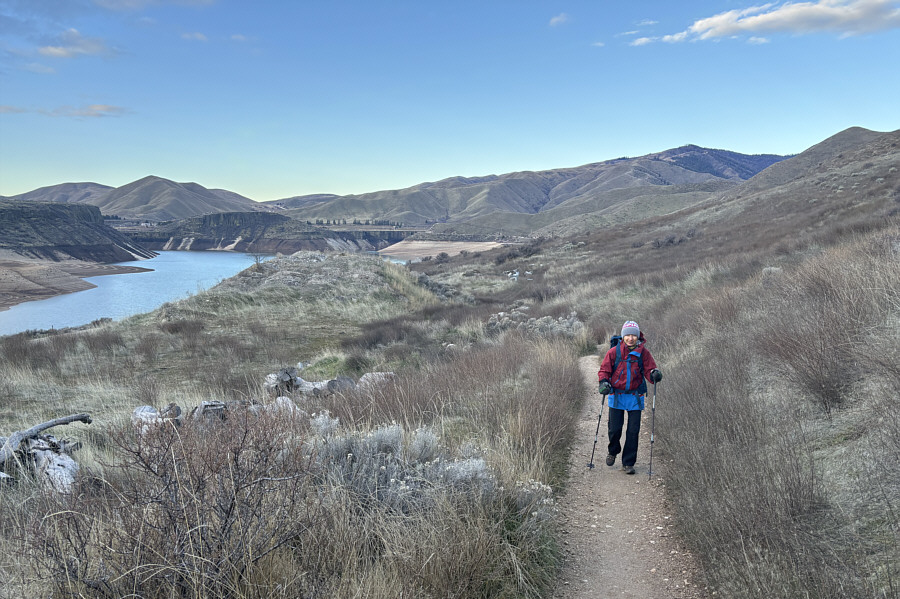 |
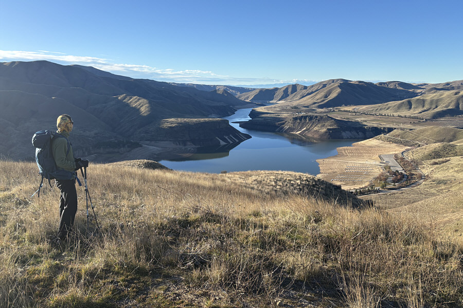
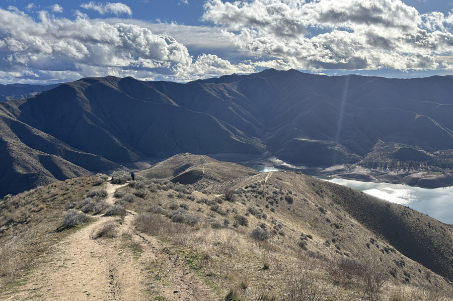
Lucky Peak Lake is visible at left as Zosia climbs up the initial section of trail. |
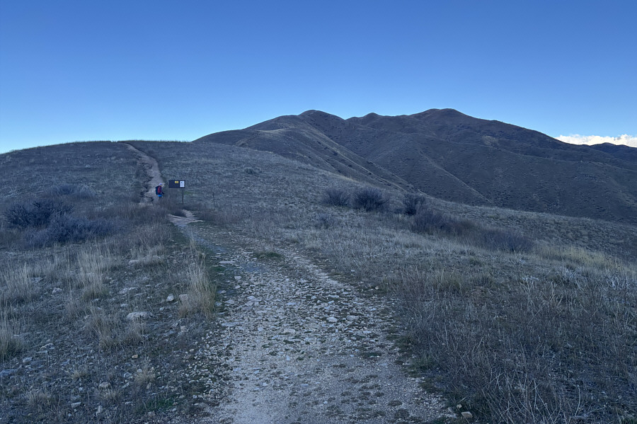 |
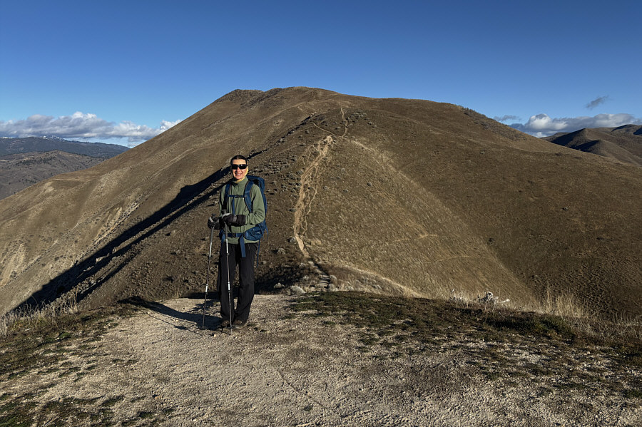
The remainder of the ascent route is mostly visible here as it follows the ridge crest all the way to the summit (right). |
With the entire mountain under full sunlight, the summit can be identified as the bump above Zosia.
 |
Here is another view of Lucky Peak Lake from the ridge. Note the low water level. |
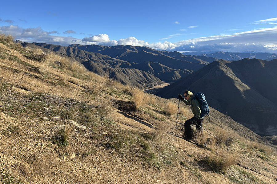 |
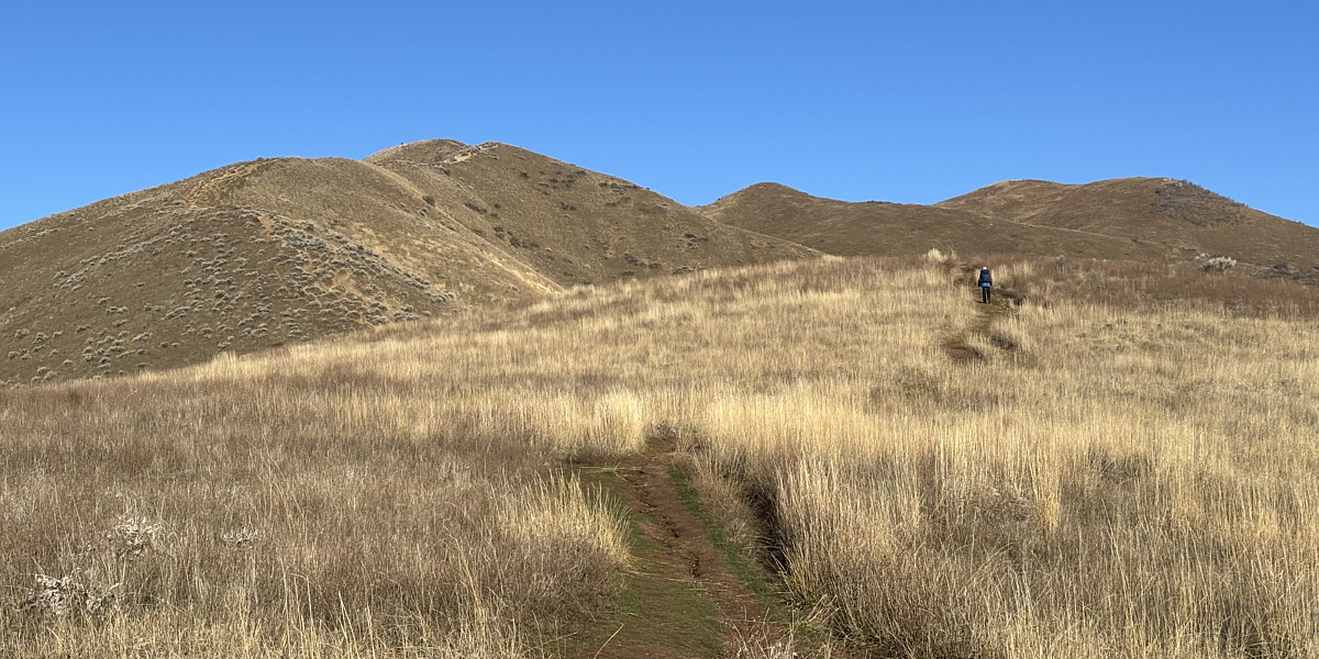
Most of the ascent is simply a steep grunt. |
 |
Zosia pauses before a big dip in the ridge. |
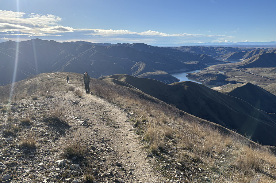 |
Another hiker follows Zosia up the final steps before the summit. |
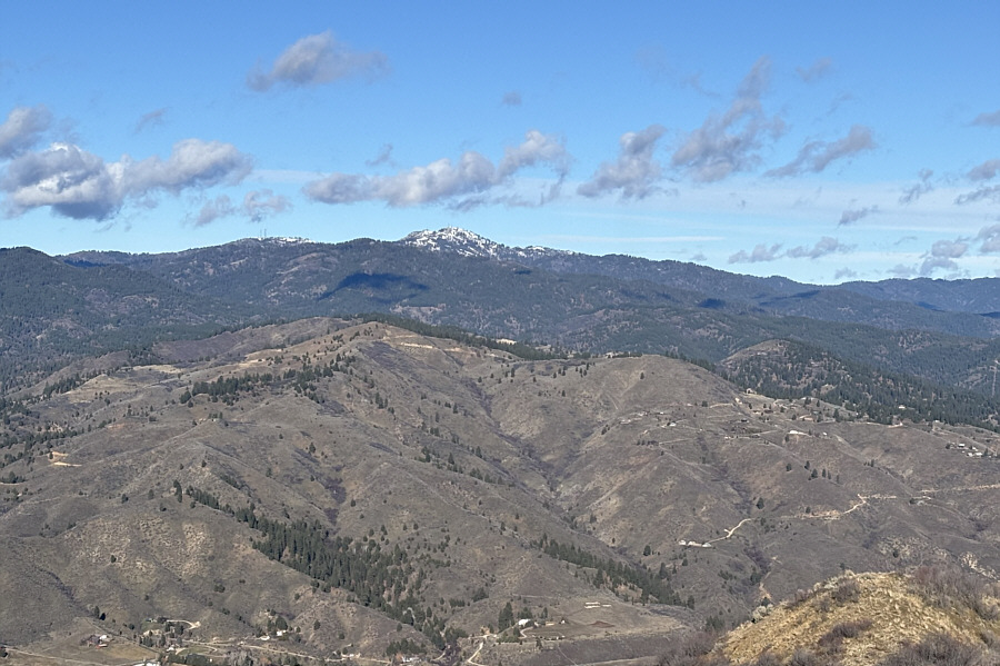 |
About twenty kilometres away to the northwest is snowy Shafer Butte, the high point of Bogus Basin Ski Resort. |
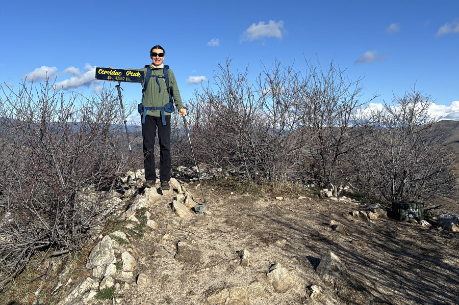 |
Zosia stands on the summit of Cervidae Peak (1511 metres). |
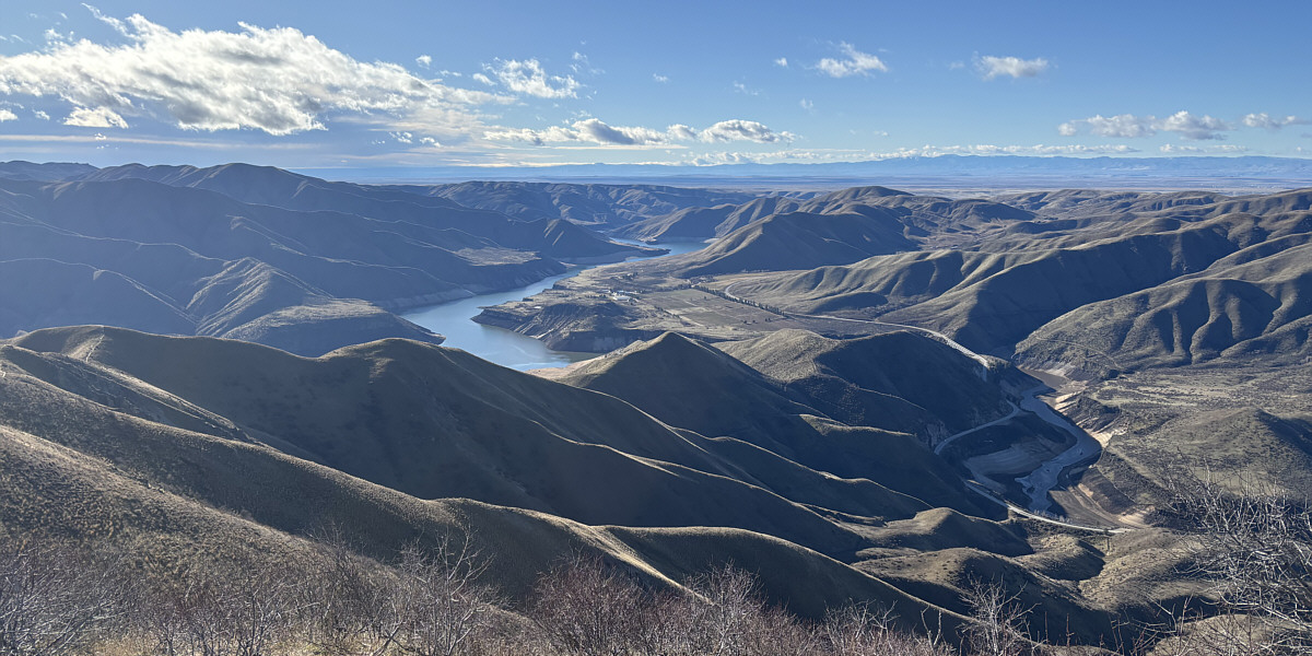
In this view to the southwest, the tallest mountain on the distant right horizon is Hayden Peak which is nearly 90 kilometres away.
Part of Lucky Peak Lake can be seen in the foreground while the sliver of water further east is part of Arrowrock Reservoir. Both bodies of water are parts of Boise River.
 |
Zosia descends the same route she came up. |
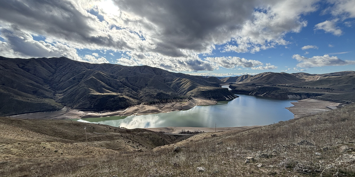
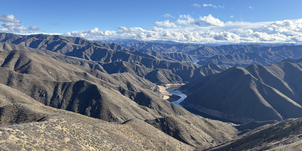
Here is a final comprehensive view of Lucky Peak Lake with Kepros Mountain dominating the left horizon.
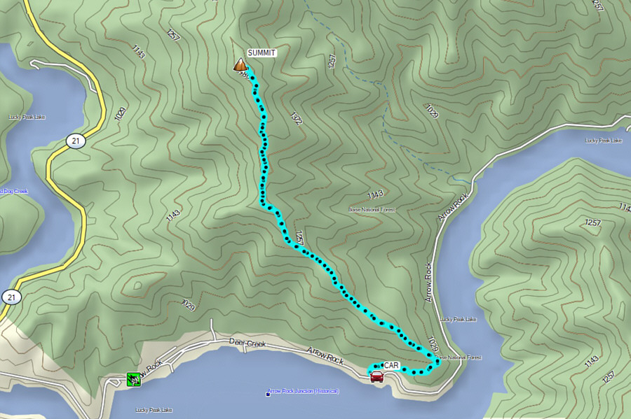 |
Total Distance: 7.5 kilometres Round-Trip Time: 3 hours 50 minutes Cumulative Elevation Gain: 547 metres |