 |
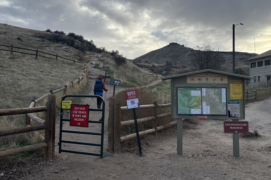
Table Rock is visible in the distance as Zosia starts hiking from the trailhead beside the Old Idaho Penitentiary. |
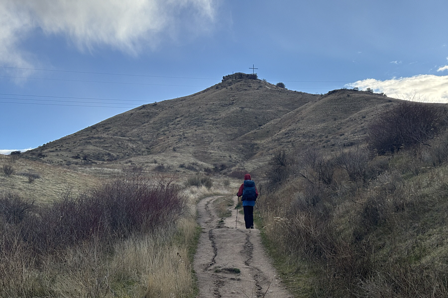 |
Zosia follows #15A Old Pen Trail on the ascent. |
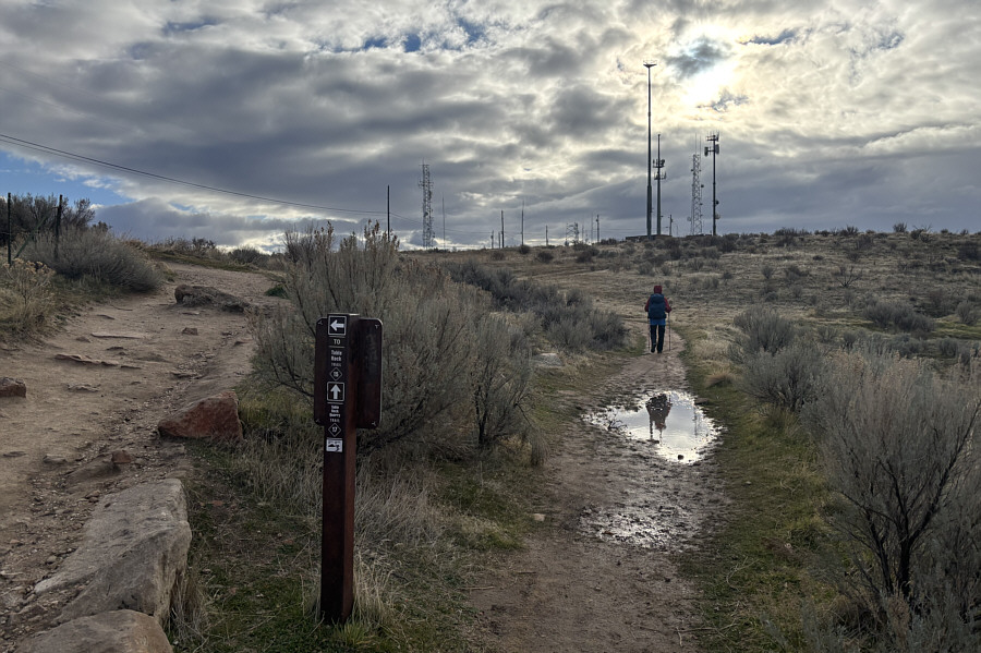 |
Upon reaching the plateau atop Table Rock, Zosia heads southward to hike along the western edge of the mesa. |
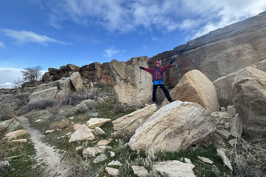 |
Zosia scrambles onto some rocks that have flaked off the "table top". |
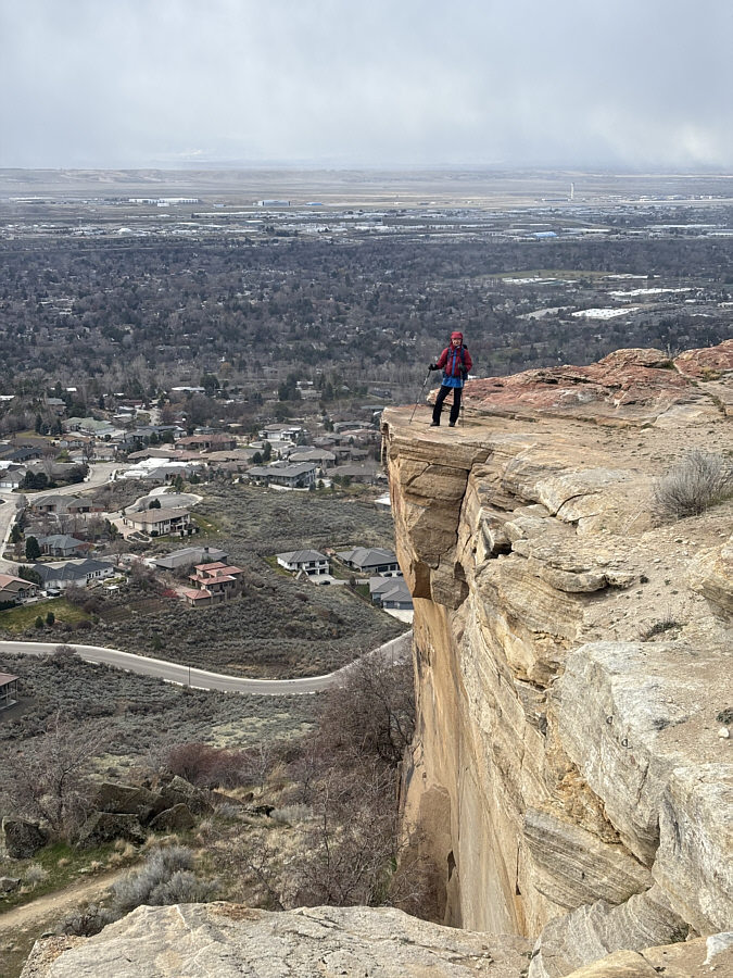 |
There are some big cliffs at the south end of Table Rock. |
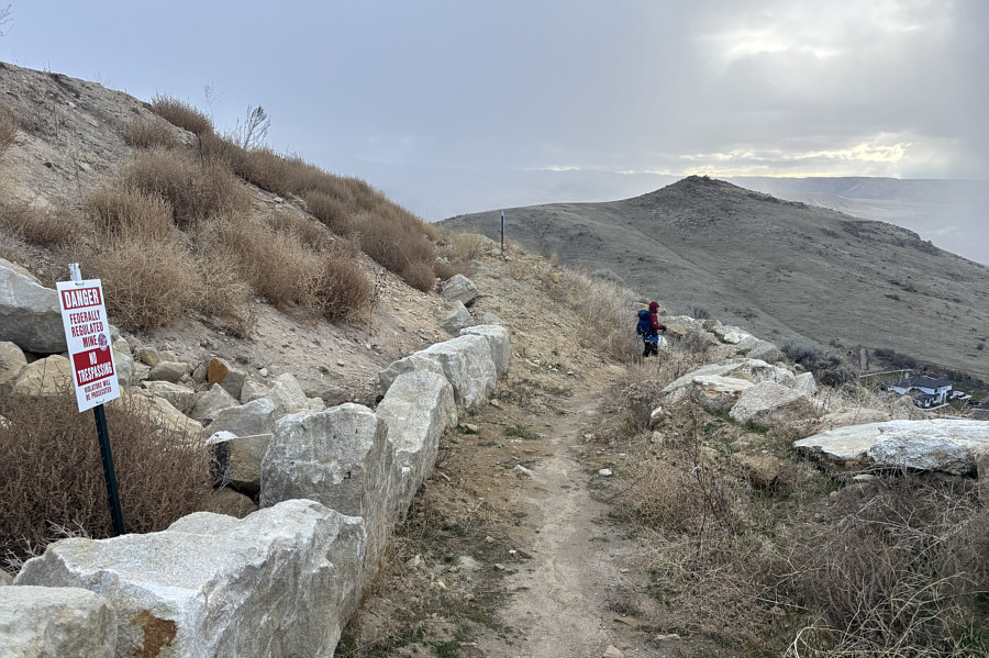 |
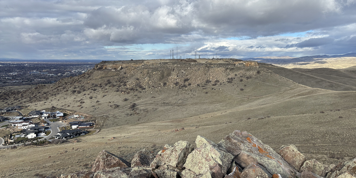
Zosia hikes along the rock quarry boundary with "Homer's Nipple" visible in the distance. |
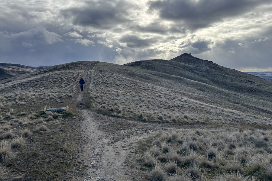 |
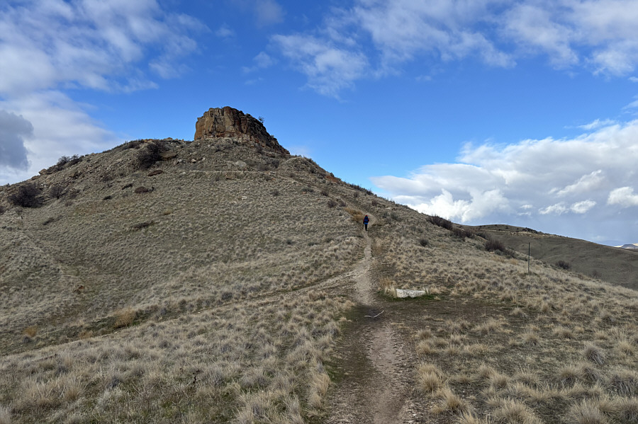
Zosia heads up the north ridge of Homer's Nipple. |
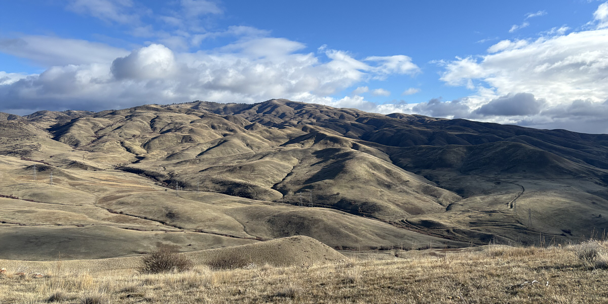
Lucky Peak (Shaw Mountain) dominates the view to the east.
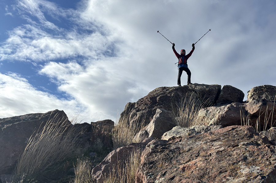 |
Zosia stands on the high point of Homer's Nipple (1106 metres). |
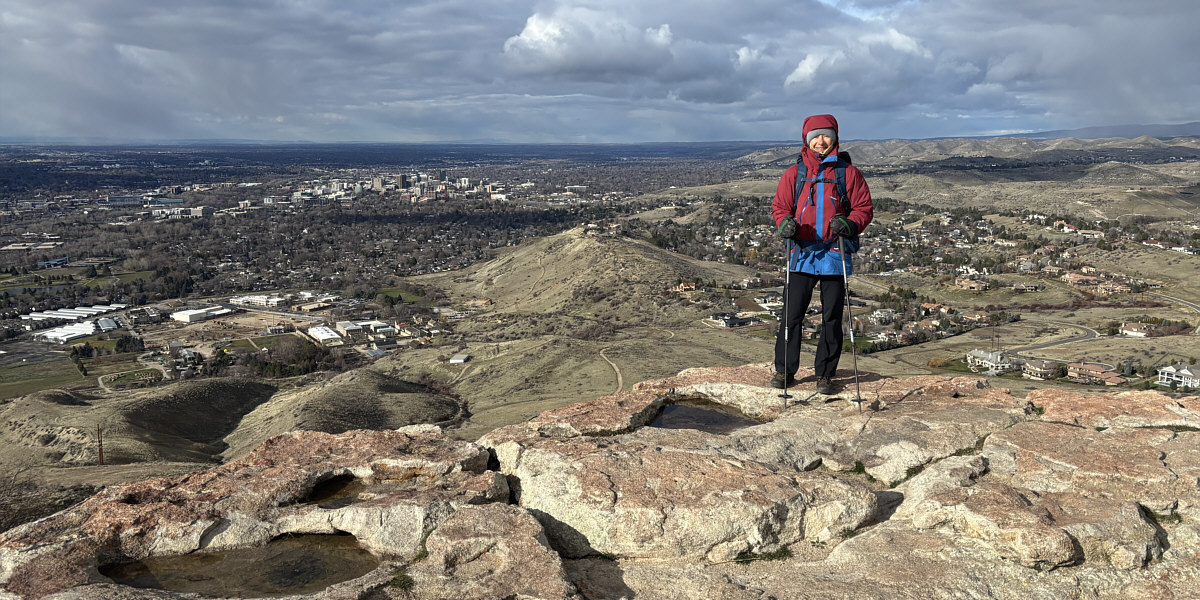
Here is a look back at Table Rock from Homer's Nipple.
When we resumed hiking, Zosia and I backtracked to the southeast corner of Table Rock and continued northward along the eastern edge of the mesa. Near the north end of the plateau, we went off-trail to tag the aforementioned true high point before making our way to the viewpoint with the cross. Seeing the cross in person, I find it hard to believe that it could cause so much anguish and grief to some people. It reminded me of some of the Polish summits we climbed a couple years ago like Tarnica and Babia Góra. Frankly, I would prefer seeing the cross than all the ugly antennas on Table Rock.
Leaving the cross, Zosia and I completed our loop of the plateau and descended the same trail we came up. Near the bottom, we took the section of #15 Table Rock Trail that we had skipped at the beginning. It is only slightly longer but maybe a little more scenic than #15A Old Pen Trail.
 |
An impressive gendarme guards the southeast corner of Table Rock. |
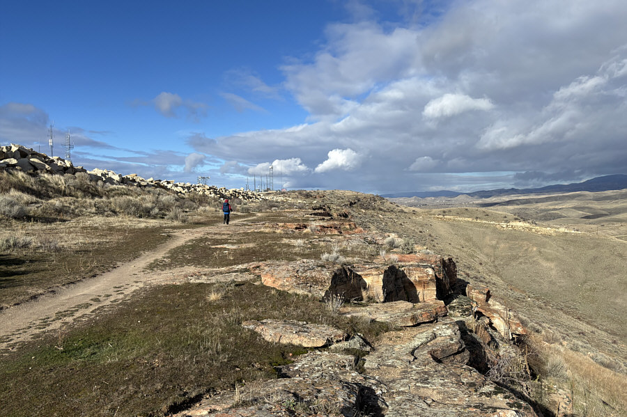 |
With the rock quarry to her left, Zosia hikes along the eastern edge of the mesa. |
 |
Zosia and Sonny stand on the true high point of Table Rock (1117 metres). |
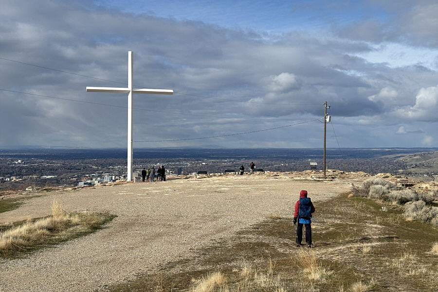 |
Zosia approaches the controversial cross on Table Rock. |
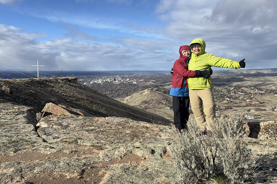
The viewpoint near the cross grants a comprehensive view of Boise.
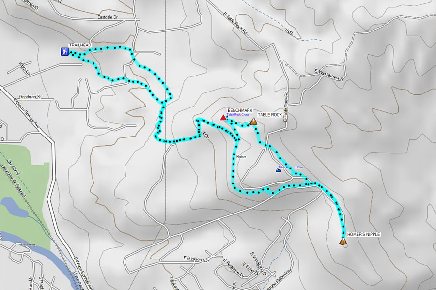 |
Total Distance: 8.1 kilometres Round-Trip Time: 3 hours 39 minutes Cumulative Elevation Gain: 282 metres |