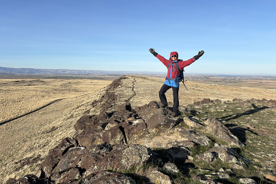
Zosia stands on Kuna Butte's western outlier (S1; 979 metres). The sliver of dark blue on the right horizon is Lake Lowell.
Round-Trip Time: 1 hour
Cumulative Elevation Gain: 81 metres
|
|
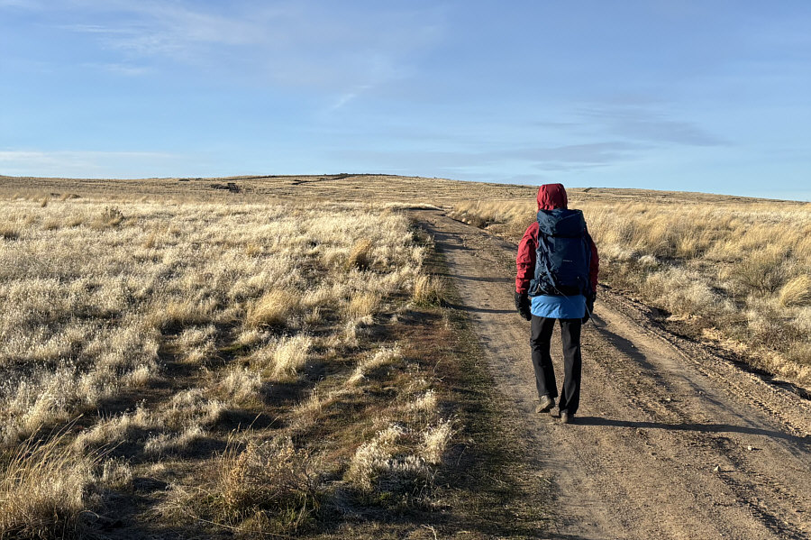
Zosia follows a dirt road that leads to the top of Kuna Butte. |
|
|
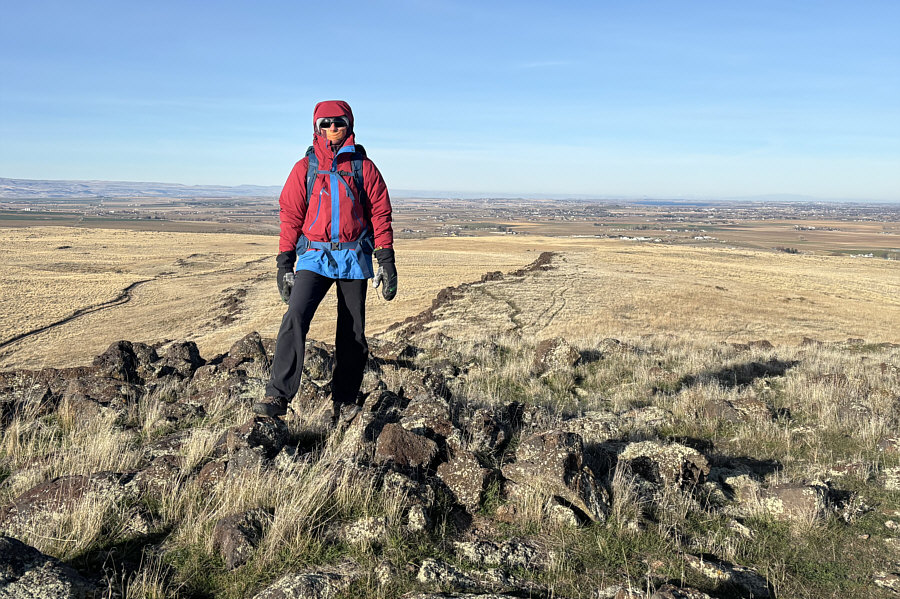
Zosia stands on the gazetted high point of Kuna Butte (979 metres). Behind her is Kuna Butte's western outlier. |
|
|
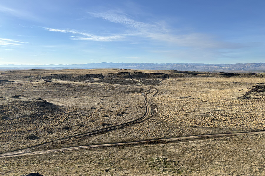
The land to the south is part of the vast Morley Nelson Snake River Birds of Prey National Conservation Area. On the horizon are the Owyhee Mountains. |
|
|
Zosia stands on Kuna Butte's western outlier (S1; 979 metres). The sliver of dark blue on the right horizon is Lake Lowell. |
|
|
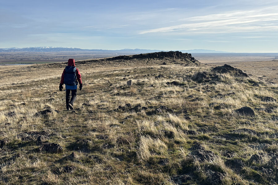
Zosia hikes back toward the gazetted high point of Kuna Butte. |
|
|
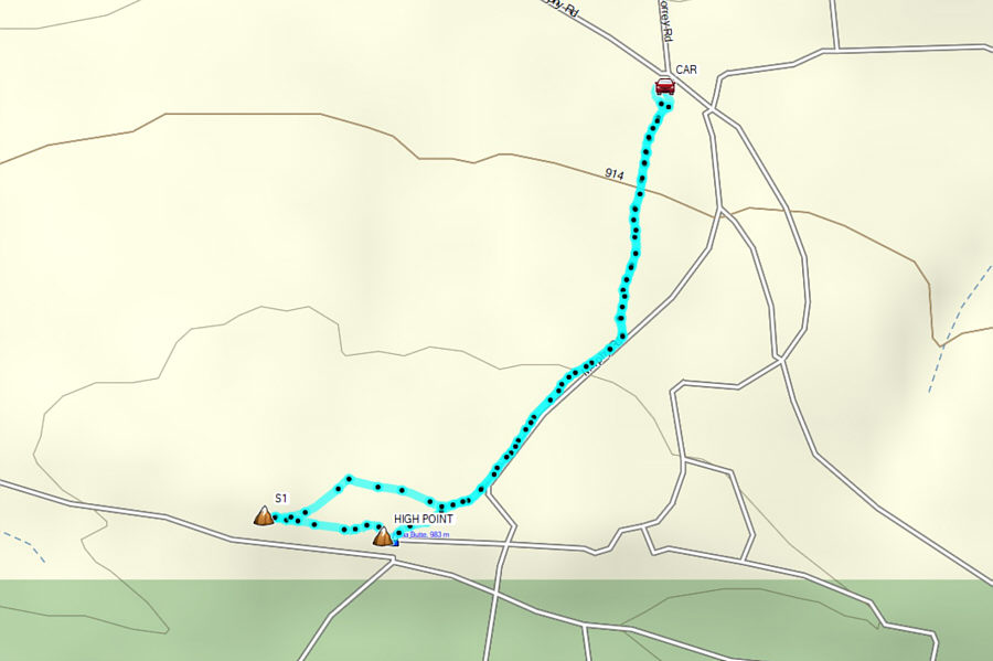
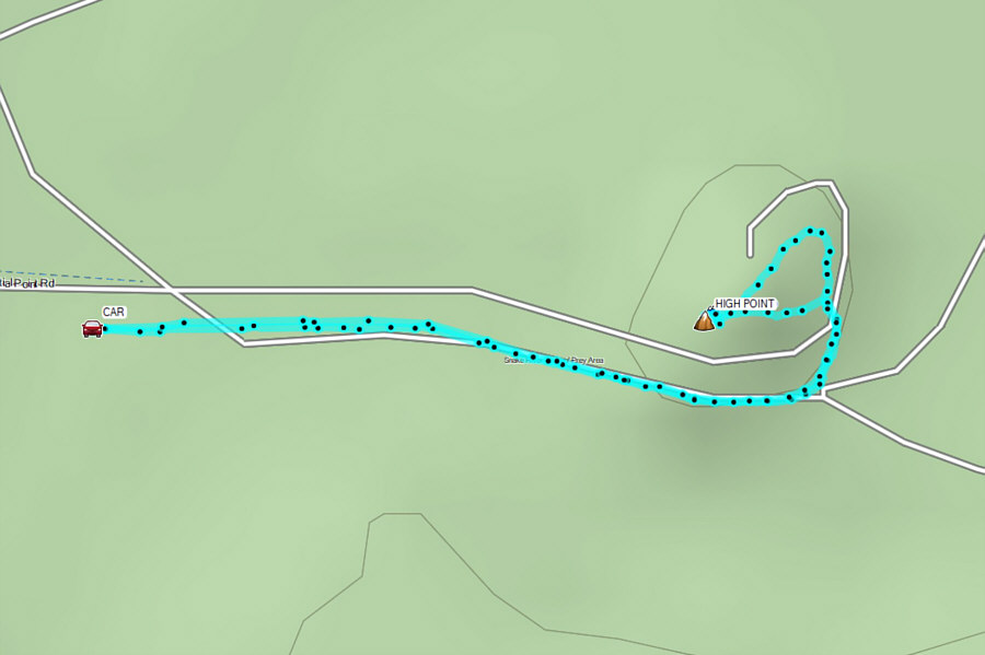
Total Distance: 2.9 kilometres Round-Trip Time: 1 hour Cumulative Elevation Gain: 81 metres |
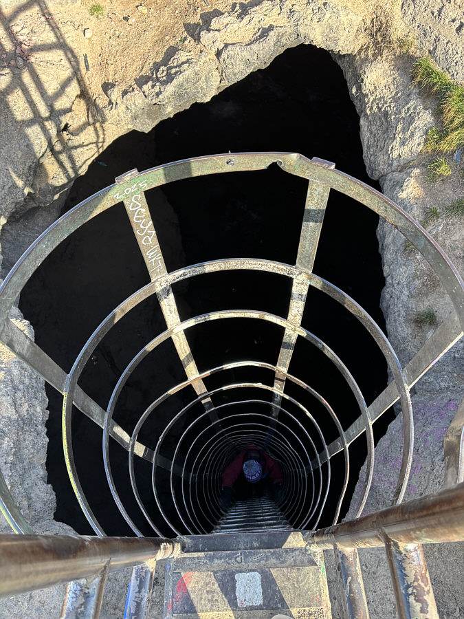
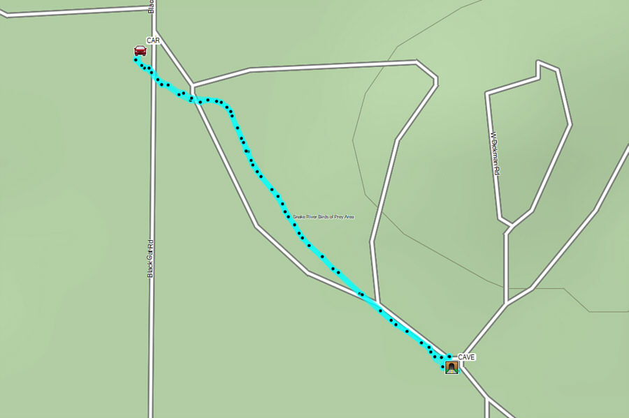
The usual access is via a dirt road which runs due south from paved Kuna Cave Road past some private farmland to a gate (43.41553, -116.45395) at the NCA boundary. The cave entrance--basically a hole in the ground--is about half a kilometre southeast of the gate, and although it is possible to drive all the way there, we elected to walk this last bit. To enter the cave, we had to descend a 15-metre high steel ladder with a safety cage. Both the ladder and cage appeared to be quite sturdy, but it is worth noting that they are not officially maintained. The lava tube runs along the north-south axis, and we first explored the southern arm which entailed at least one section where we had to crawl along on our bellies. The northern arm is longer and generally more spacious, and we went as far as we could without having to crawl. When we had enough of looking at the graffiti-covered walls and stepping around all the infuriating trash, we climbed back up the ladder to the surface and walked back to our car.
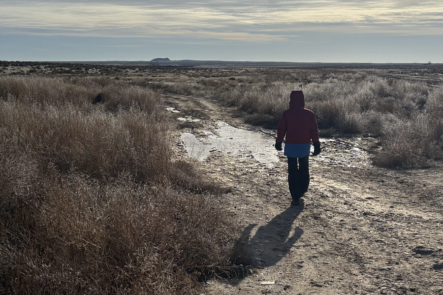 |
Zosia walks along the rough approach road to Kuna Cave. The prominent butte on the horizon is officially-named Initial Point. |
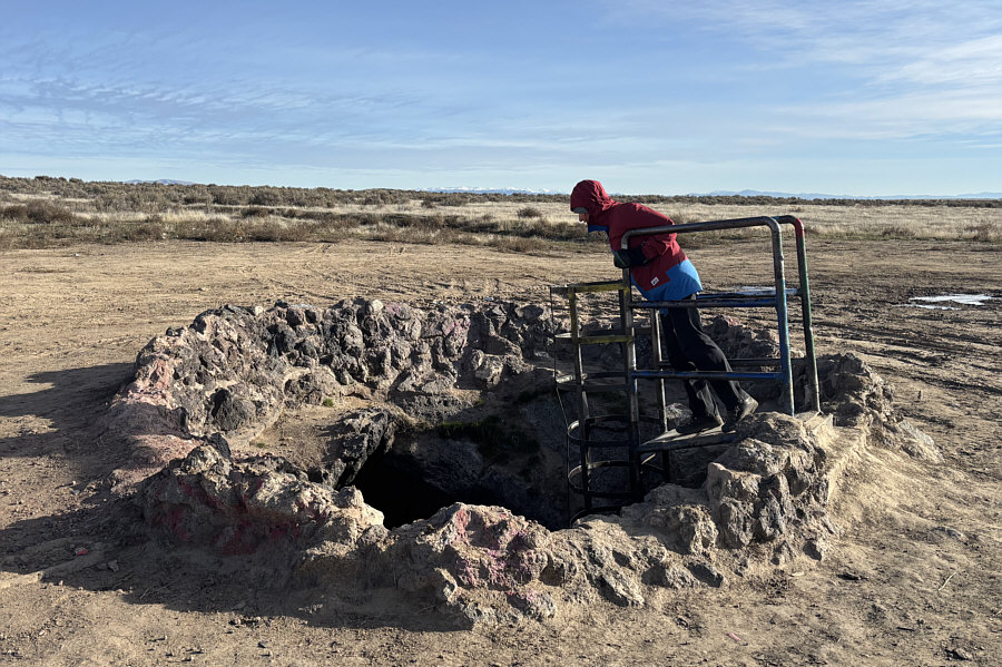 |
Zosia peers into the entrance of Kuna Cave. |
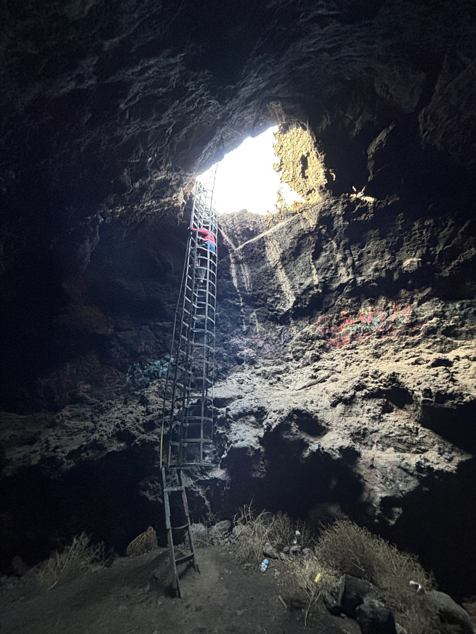 |
Zosia descends a 15-metre high steel ladder to enter Kuna Cave which is actually an extended lava tube running north-south. |
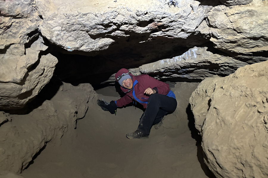 |
Zosia crawls through very fine dirt while exploring the southern arm of the lava tube. |
 |
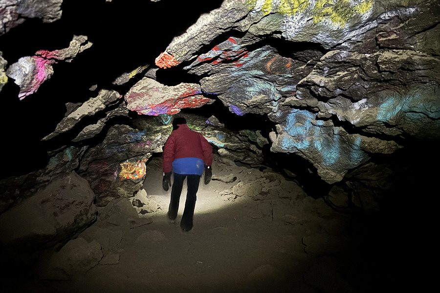
Zosia checks out one of the more spacious sections in the northern arm of the lava tube. |
 |
Some sections in the northern arm have low ceilings. |
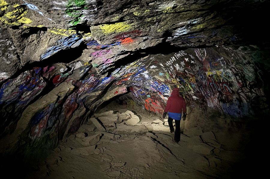 |
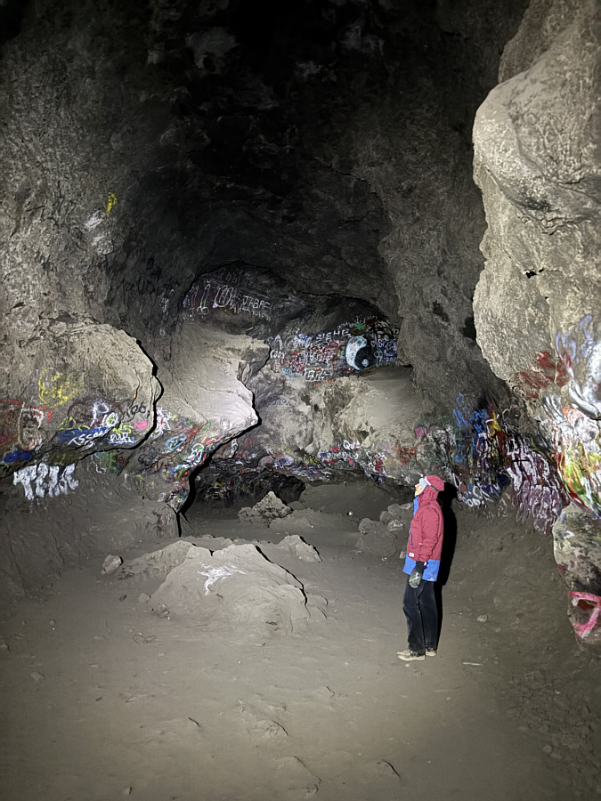
Unfortunately, graffiti is prevalent everywhere in Kuna Cave. |
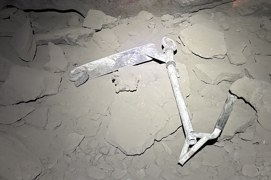 |
Sadly, there is also quite a lot of trash in Kuna Cave. |
 |
Zosia climbs out of Kuna Cave. |
 |
Total Distance: 1.3 kilometres* Round-Trip Time: 1 hour Cumulative Elevation Gain: ~15 metres *Mostly surface travel only |
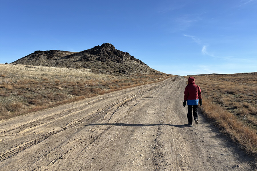 |
Zosia walks along the access road toward Initial Point. |
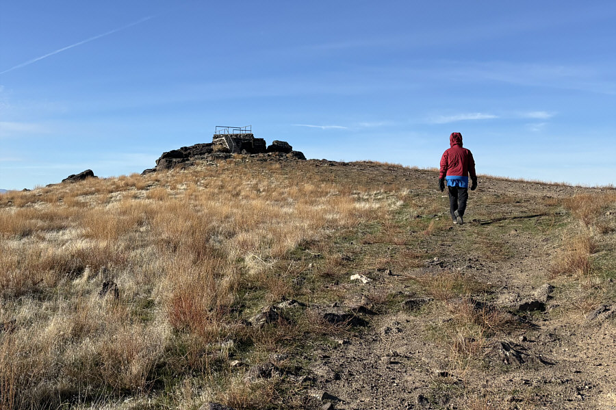 |
An observation platform sits atop Initial Point. |
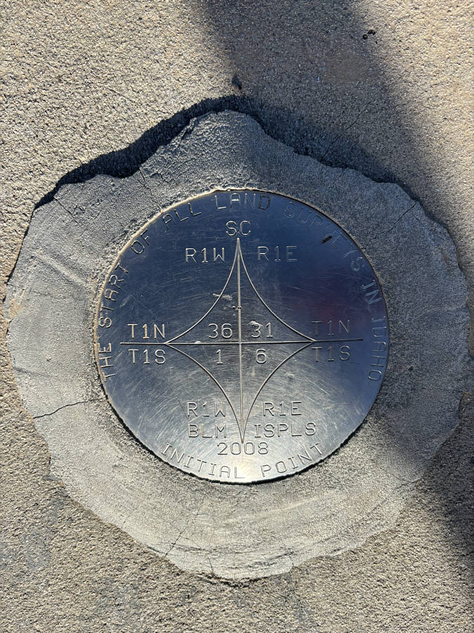 |
The benchmark on Initial Point (986 metres) is the starting reference point for all other land surveys done in Idaho. |
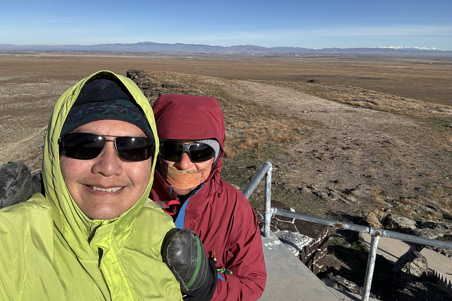 |
Sonny and Zosia take a selfie on top of Initial Point. |
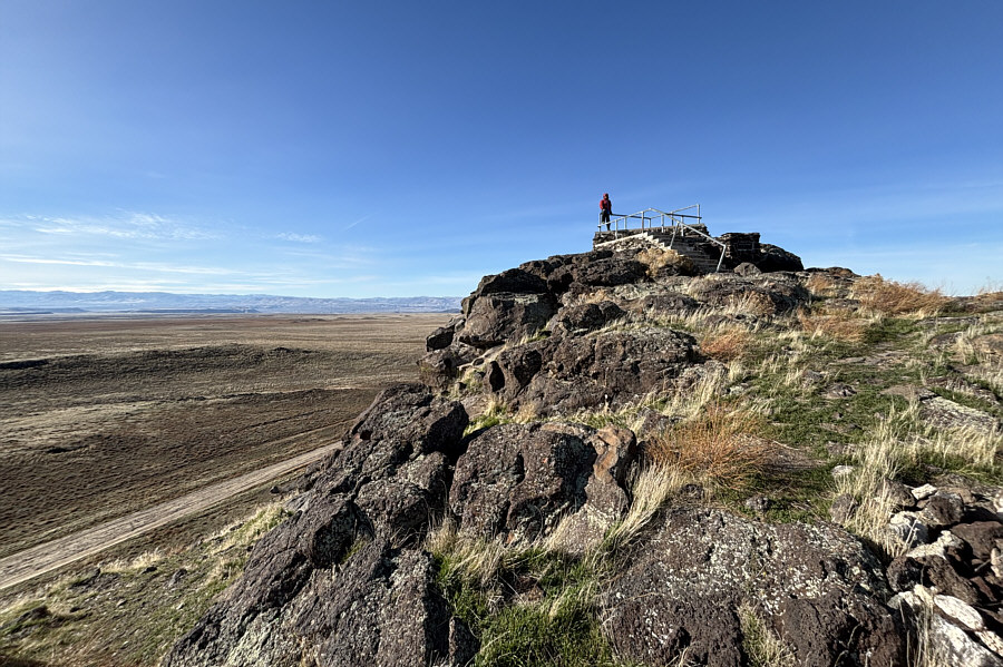 |
Here is another look at the observation platform on top of Initial Point. |
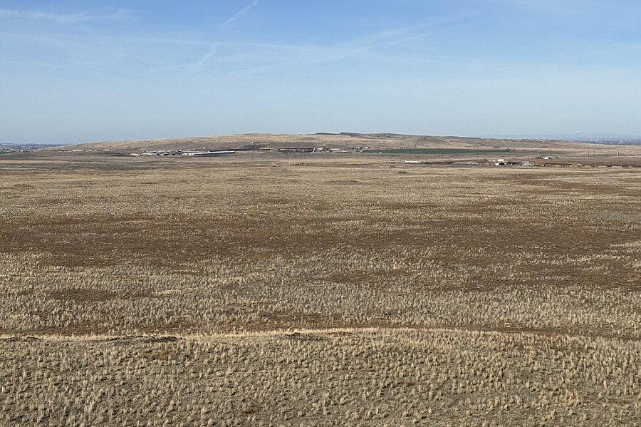 |
At centre on the northwest horizon is Kuna Butte which is about nine kilometres away. |
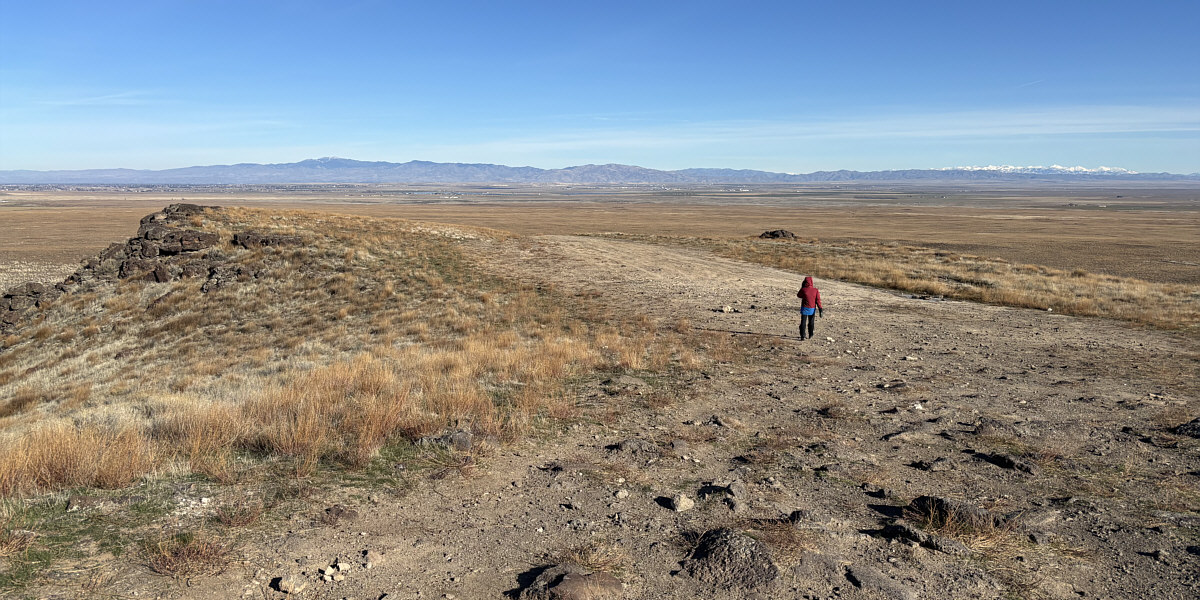
Here is a panoramic view to the northeast from Initial Point.
 |
Total Distance: 2.0 kilometres Round-Trip Time: 37 minutes Cumulative Elevation Gain: 41 metres |