BOU AVENUE
Lucky Peak (Shaw Mountain)
Lucky Peak dominates the eastern skyline of Boise, Idaho and is a popular hiking or biking objective with numerous trails and roads leading to its summit.  Previously known as Shaw Mountain, Lucky Peak had its current name officially adopted because of the numerous mines that cropped up in the area late in the 19th century.  One of the routes to the top of Lucky Peak utilizes a road that passes by one such mine--the Adelmann Mine--named after a German immigrant who became a prominent local businessman.  Zosia Zgolak and I would take this route to ascend Lucky Peak on 28 December 2025.  The trailhead (43.57400, -116.02176) is located on the north side of Highway 21 at the gated entrance to the Boise River Wildlife Management Area (WMA) office.  Parking is limited here.

Past the gate at the trailhead, Zosia and I walked through the compound of the WMA office and continued along a dirt road heading northwest up a coulee.  Travel along the road was easy and uncomplicated, and the ascent never felt overly steep.  About 3.4 kilometres from the trailhead, we passed the turnoff to Adelmann Mine where a couple of buildings still stand.  We were content with seeing the buildings from afar and opted not to take the short detour to the mine site.  Another 1.9 kilometres past the mine turnoff, we abandoned the road and took a short cut up the crest of Lucky Peak’s east ridge.  The short cut is not marked, but we soon picked up a well-defined trail climbing up the ridge.  This trail led us to the top of a false summit, and from there, we dropped down slightly to connect with another road which runs all the way to the true summit only a short distance away.

At the true summit, Zosia and I chatted at length with a local hiker and learned for the first time about Boise’s four “Grand Slam Peaks” consisting of Cervidae Peak (which we climbed two days earlier), Lucky Peak, Kepros Mountain, and Mount Heinen.  With only one more full day in the Boise area, I did not think we would be able to complete the intriguing list, but this gave us some peak-bagging ideas for the future.

For our descent, Zosia and I pretty much backtracked the same way we came.  We inadvertently lost our route and endured a little bit of bushwhacking near the false summit, but otherwise the rest of the hike back to the trailhead was very straightforward and pleasant.
They need to move the gate back and expand the parking lot! 
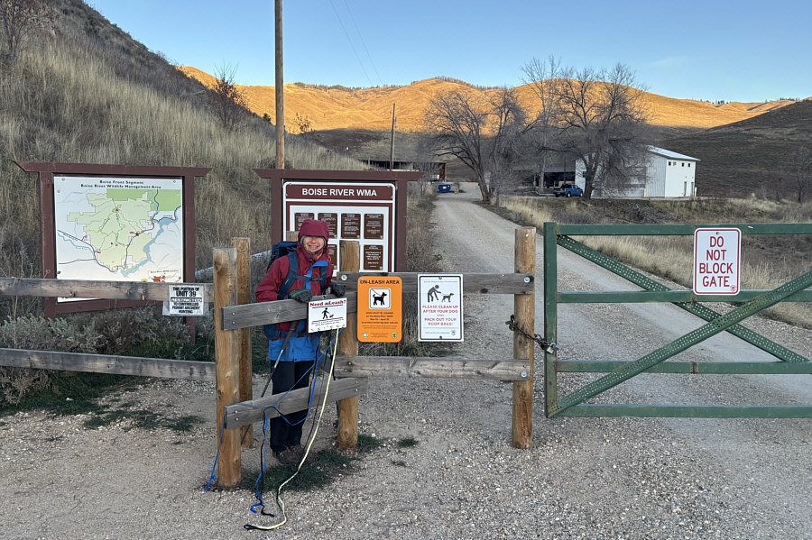
Zosia starts hiking from the trailhead.
Impossible to see here, but there is a big raptor in a tree up ahead. 
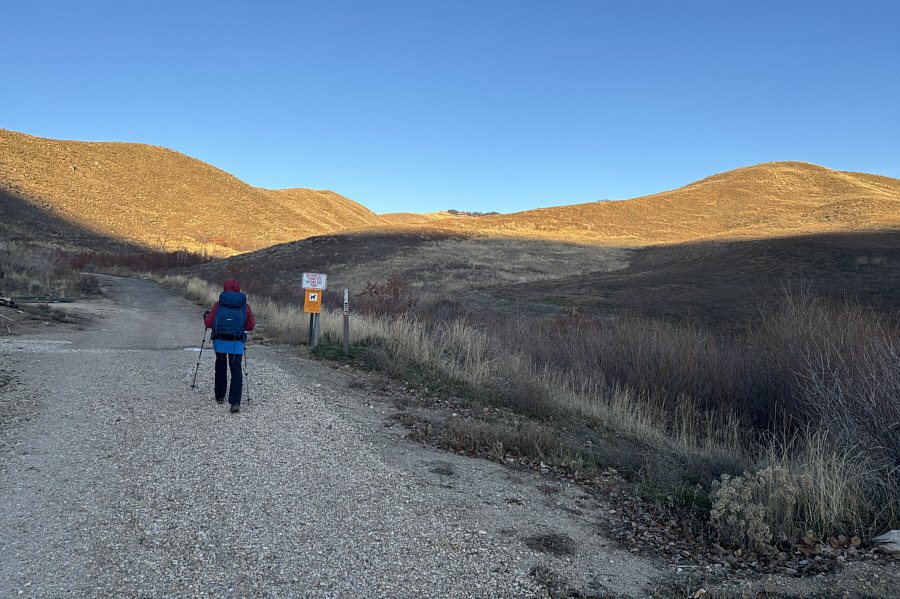
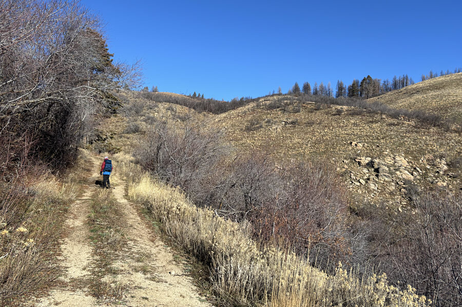
Zosia follows a road heading into the hills.
Starting to warm up! 
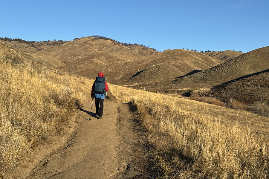
The grassy hillsides glow in the morning sun.
Deer holocaust? 
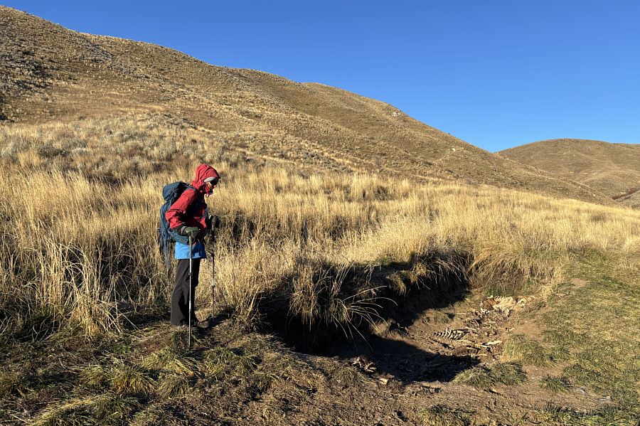
About 1.3 kilometres from the trailhead, Zosia comes across a shallow pit full of deer carcasses right beside the road.  Apparently, more than a hundred deer are killed along Highway 21 each year, and Idaho Fish and Game drag the roadkill here to dispose of the remains in the pit.
The stuff that dreams are made of... A spur trail branching off the road leads to Adelmann Mine.  Named after a German immigrant who became an important businessman in the area, the gold and silver mine operated for only a short period of time before it was shut down due to lack of productivity.
There were some deer on the hillside at right. 
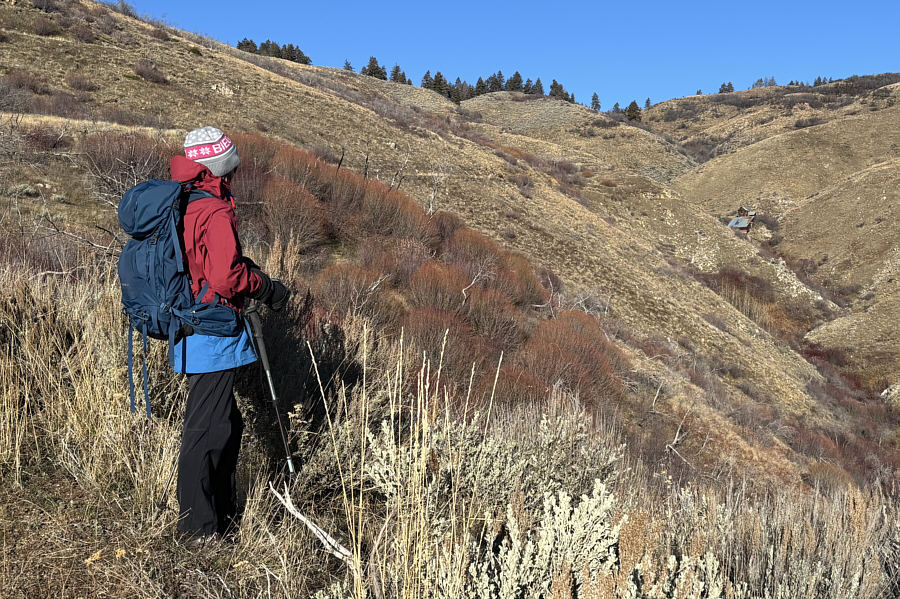
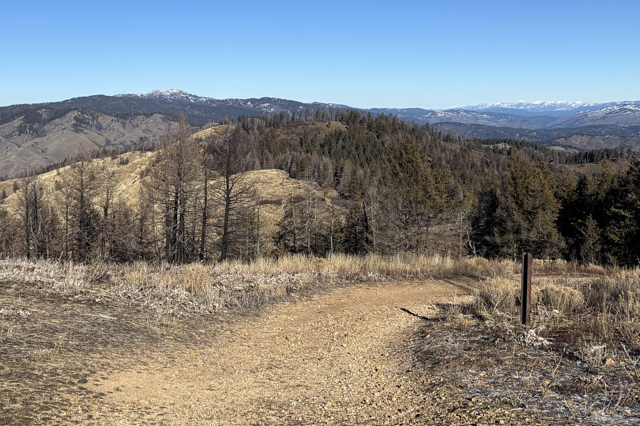
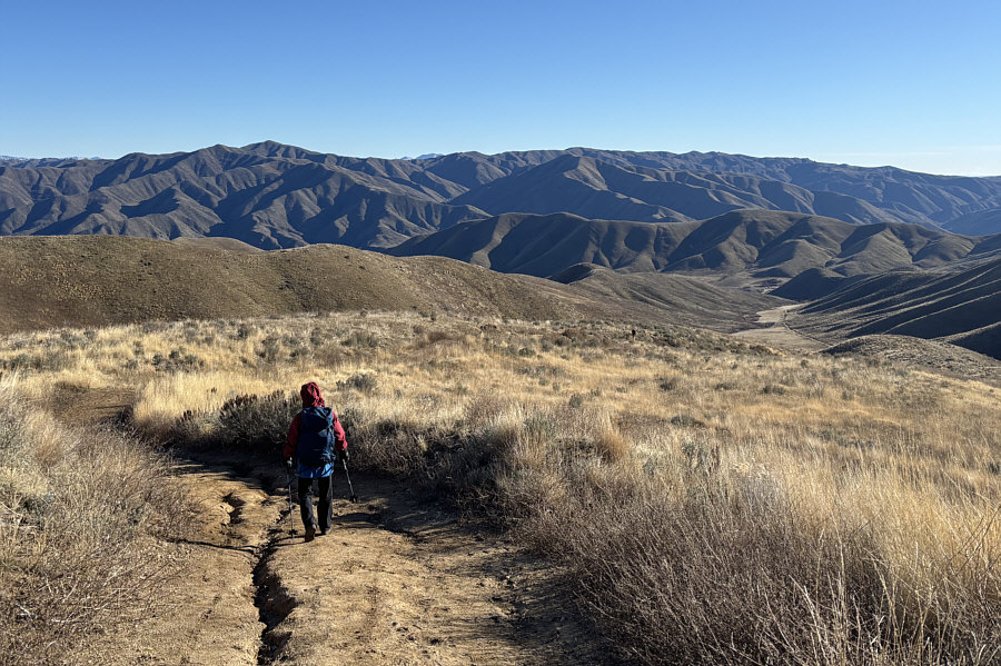
Zosia begins to pass bigger stands of vegetation higher up the mountain.
Trust me--this is a good short cut to take! Zosia leaves the road to take a short cut up the east ridge.
I wonder what the stakes are for... 
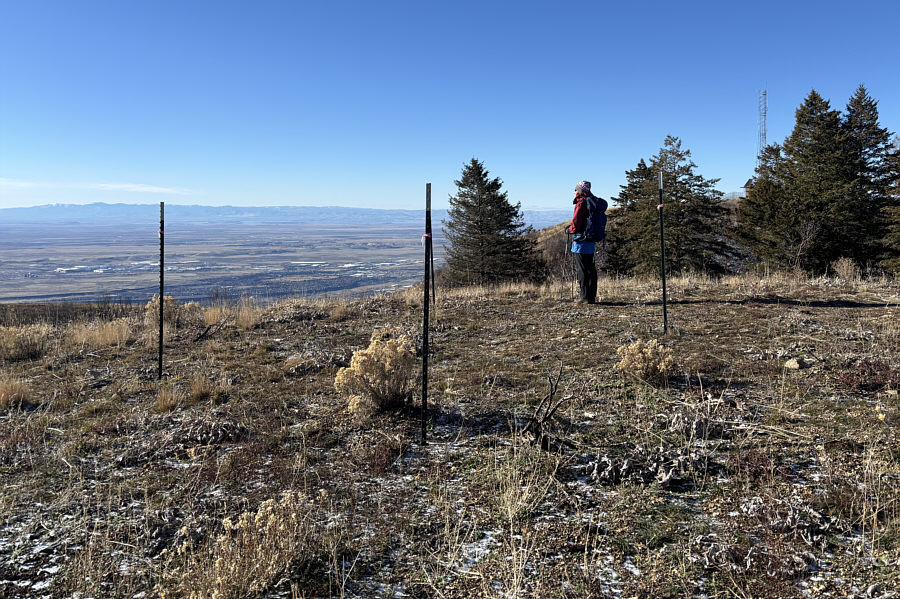
Some metal stakes mark the top of a false summit (1794 metres).  An antenna sits on the true summit just beyond the trees at right.
Dog yoga? 
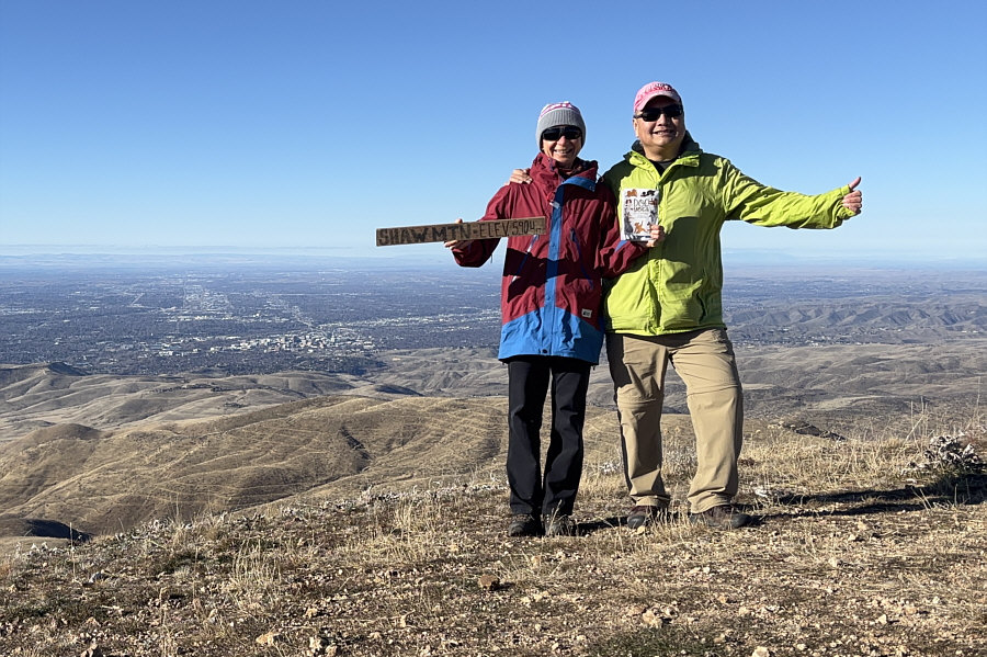
Zosia and Sonny stand near the summit of Lucky Peak (1799 metres).
Looks like a good ski day there! 
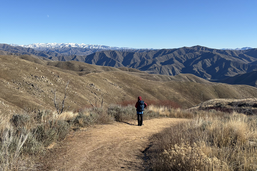
About nineteen kilometres away to the north is snowy Shafer Butte (left horizon), the high point of Bogus Basin Ski Resort.

I like this place!

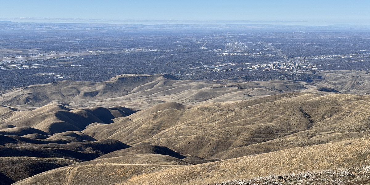
The view to the west includes Table Rock (left of centre) and the city of Boise.


Kepros Mountain is calling us... Kepros Mountain (right horizon) stands out to the east as Zosia descends the road.
Not bad to be hiking in these conditions in late December! The trailhead is visible at distant right as Zosia continues her descent.
Our second Boise Grand Slam Peak! 
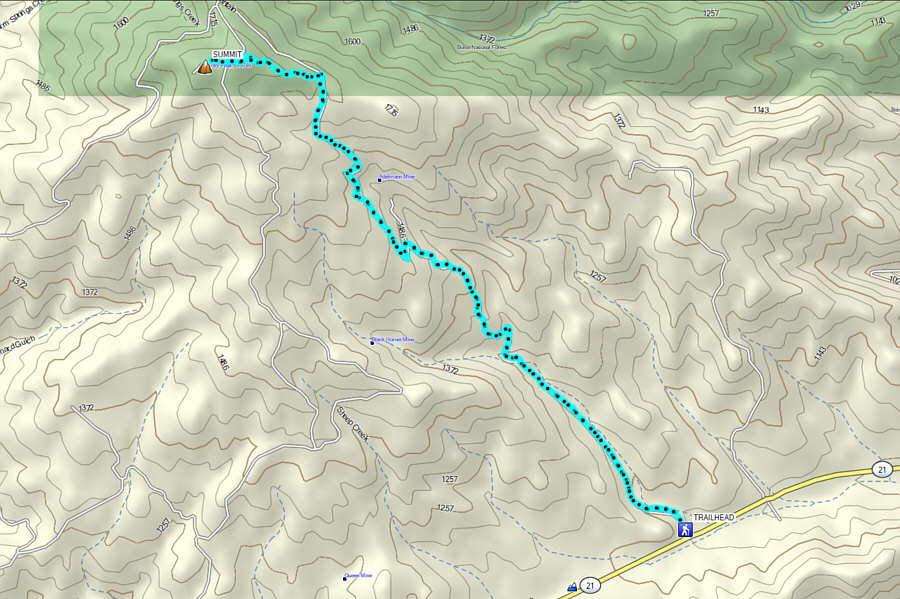
Total Distance:  12.6 kilometres
Round-Trip Time:  5 hours 23 minutes
Cumulative Elevation Gain:  679 metres

GPX Data