Departing Boise, Idaho on 30 December 2025,
Zosia Zgolak and I hiked up Kepros Mountain, one of the four celebrated
Boise Grand Slam Peaks. The summit is located in a somewhat
remote part of Boise River Wildlife Management Area (WMA), but the ascent
is little more than a long undulating ridge walk. At the same time,
it is possible to tag another officially-named summitThree Point
Mountainwhich is right near the trailhead and requires minimal extra
effort. Incidentally, Kepros Mountain is named after George Kepros,
a local homesteader.
From I-84, take Exit 64 and head eastward along Blacks Creek Road.
Drive 9.7 kilometres and turn left (follow the green sign pointing left
to "PRAIRIE" and "S. FORK BOISE RIVER"). Drive 1.5 kilometres to
where the pavement ends and continue on 2WD gravel for another 6.0
kilometres to a large pullout on the right. Park here (43.50689,
-115.92645).
Zosia and I started by climbing westward up a steep jeep track.
Upon gaining the crest of a north-south ridge, we intersected a good
trail and turned left (south) to quickly scoot up to the nearby summit of
Three Point Mountain. We then returned to the turnoff and continued
northward along the lengthy connecting ridge to Kepros Mountain.
While it is possible to go over every minor hump along the way, most
hikers probably choose to take the handful of well-established bypass
trails which omit a lot of unnecessary elevation changes, and we would
follow suit. There are three such bypasses between Three Point
Mountain and where the trail intersects another jeep track originating
from Pole Gulch (a different but longer approach mostly utilized by ATV
enthusiasts). Despite a lack of signage, route-finding was
straightforward, and we had no issues reaching the second jeep track.
This jeep track runs all the way to the summit of Kepros Mountain, but
there is an unavoidable big dip before the final rise. There is
also another bypass trail that goes through a rare wooded section, and
this one was a little more difficult to hike due to some deadfall
blocking the trail. Otherwise, we made it to the summit without any
serious grief, and the weather was nice enough for us to linger awhile.
For the return trip, Zosia and I retraced our steps all the way back to
the trailhead but without the detour to Three Point Mountain.
Though long, the hike out was pleasant and uneventful.
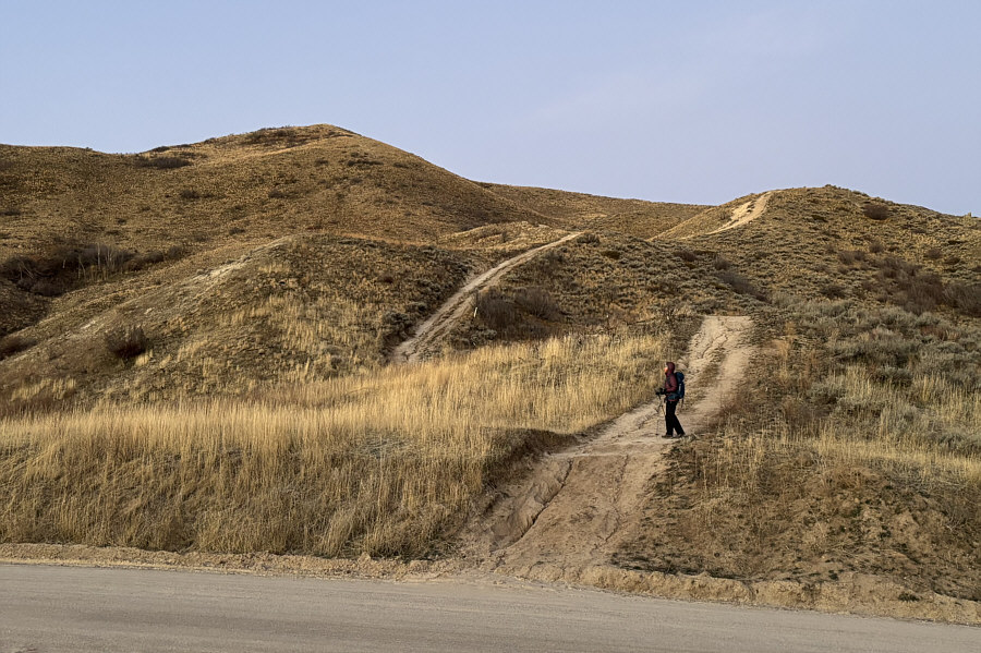 |
Zosia starts climbing up a steep jeep
track at the trailhead. At left is Three Point Mountain. |
 |
Zosia turns up the short north ridge of Three Point Mountain. |
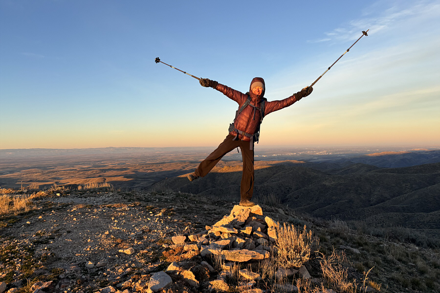 |
Zosia imitates a weather vane on the
summit of Three Point Mountain (1620 metres). |
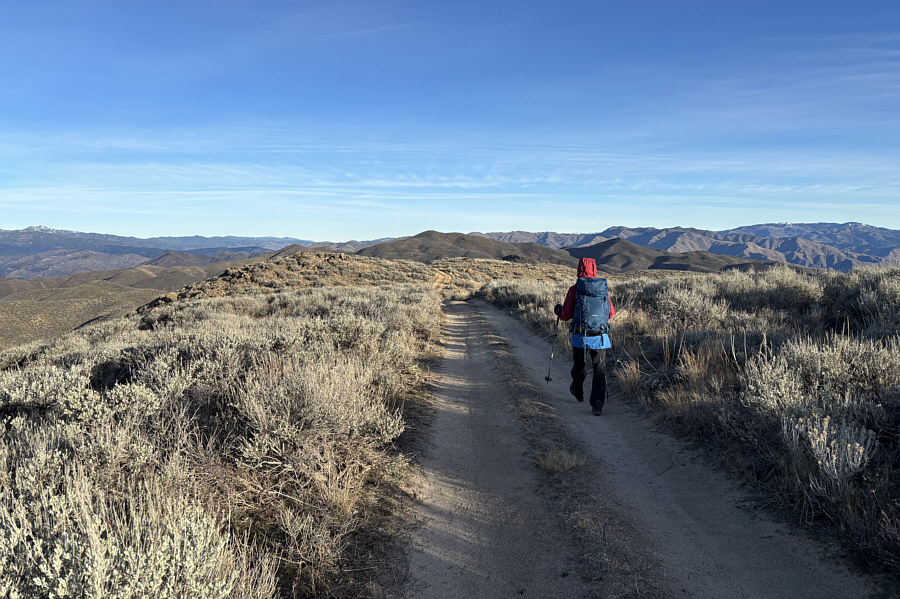
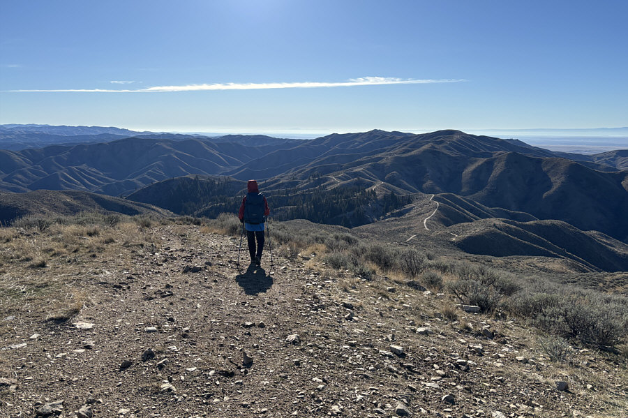
Always
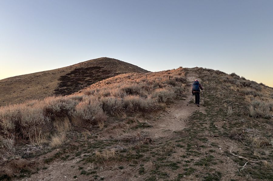
Zosia turns her attention toward the summit of Kepros
Mountain which is barely visible behind the next ridge ahead.
 |
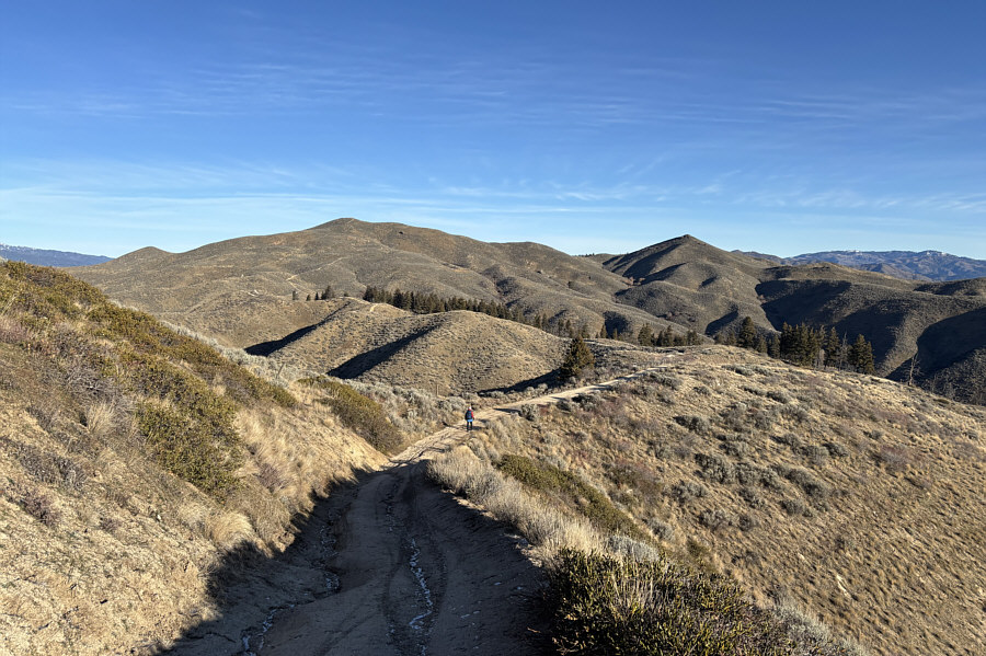
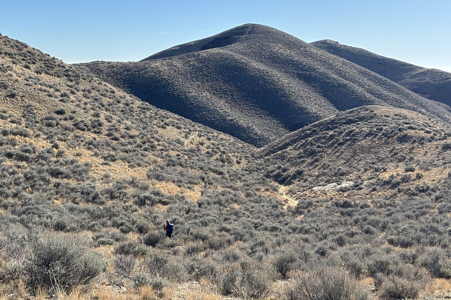
Zosia walks along another jeep track
with Kepros Mountain directly ahead. |
 |
Zosia drops down the biggest dip in
the ridge before the final rise to the summit. |
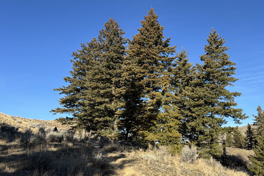 |
Zosia passes a rare stand of trees along the route. |
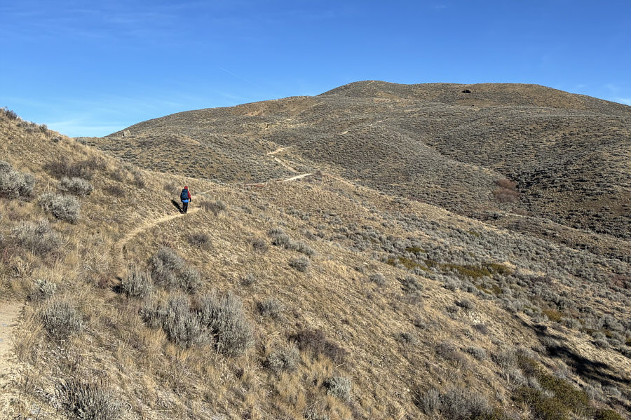 |
Zosia walks along the last bypass
trail before reconnecting with the jeep track for the final stretch
before the top. |
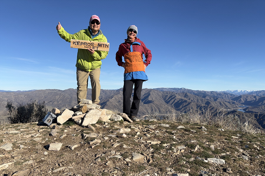 |
Sonny and Zosia stand on the summit of
Kepros Mountain (1650 metres). |
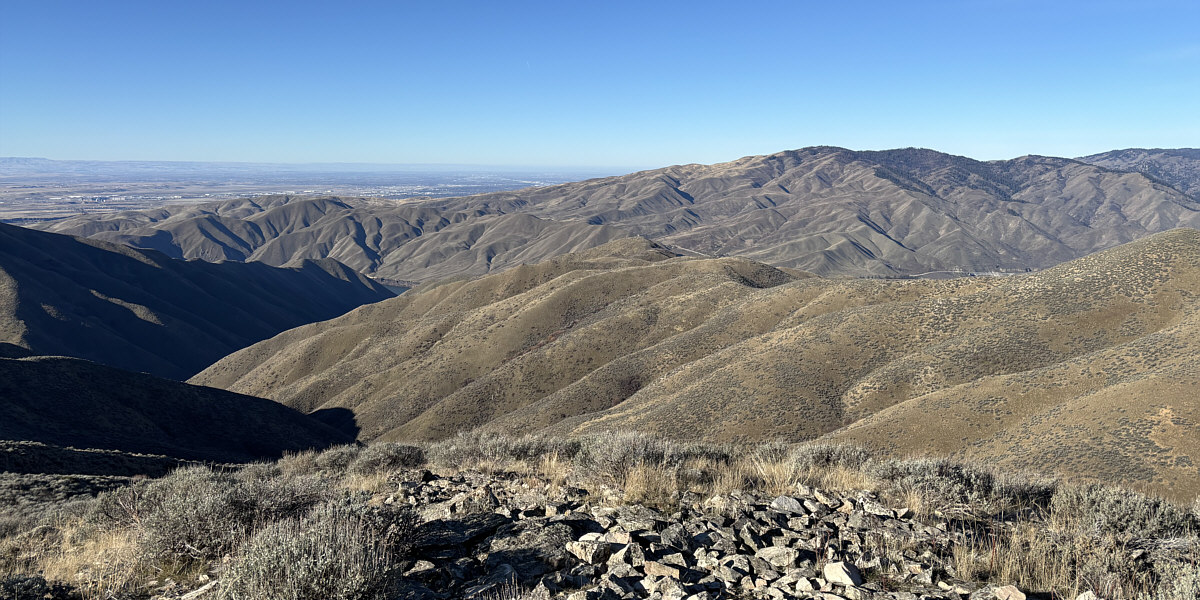
Lucky Peak (right) dominates the view to the west.
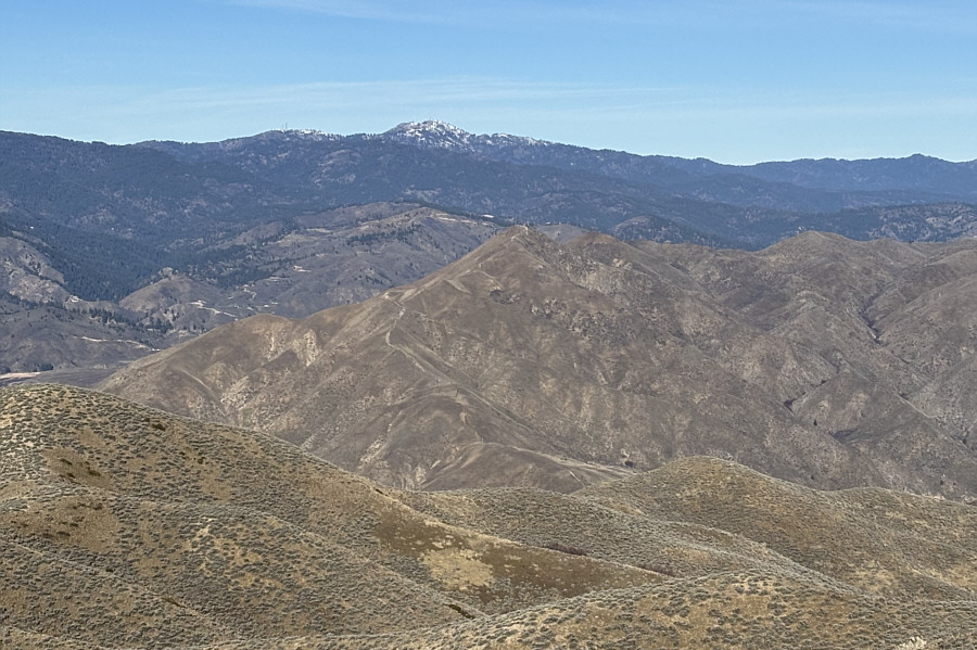 |
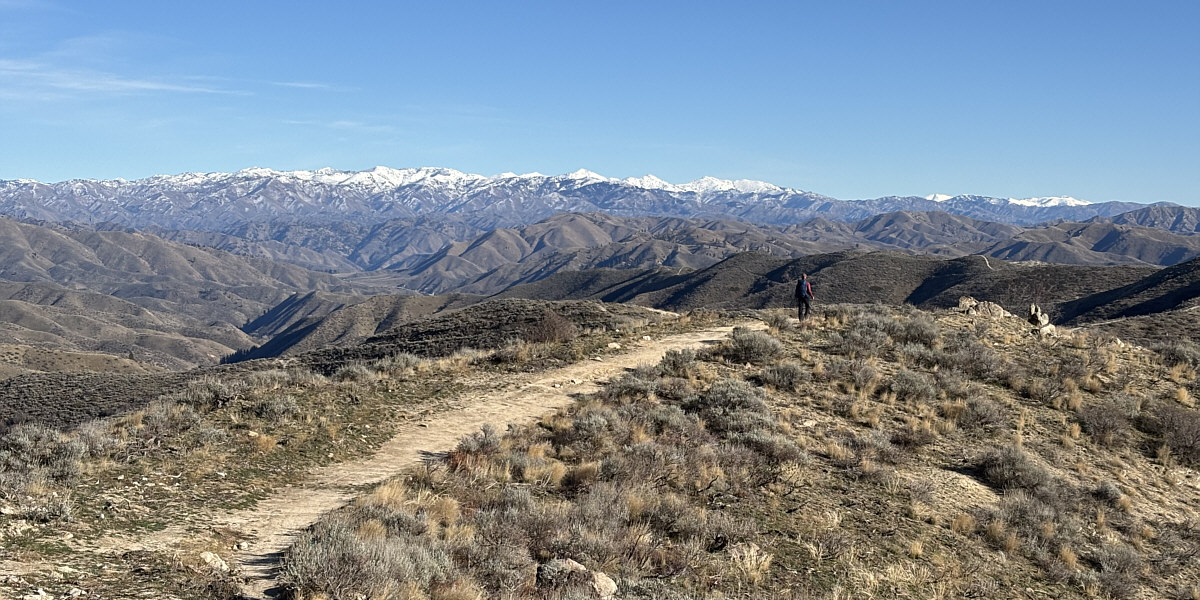
Snowy Shafer Butte stands out on the
northern horizon behind
Cervidae Peak
(centre foreground). |
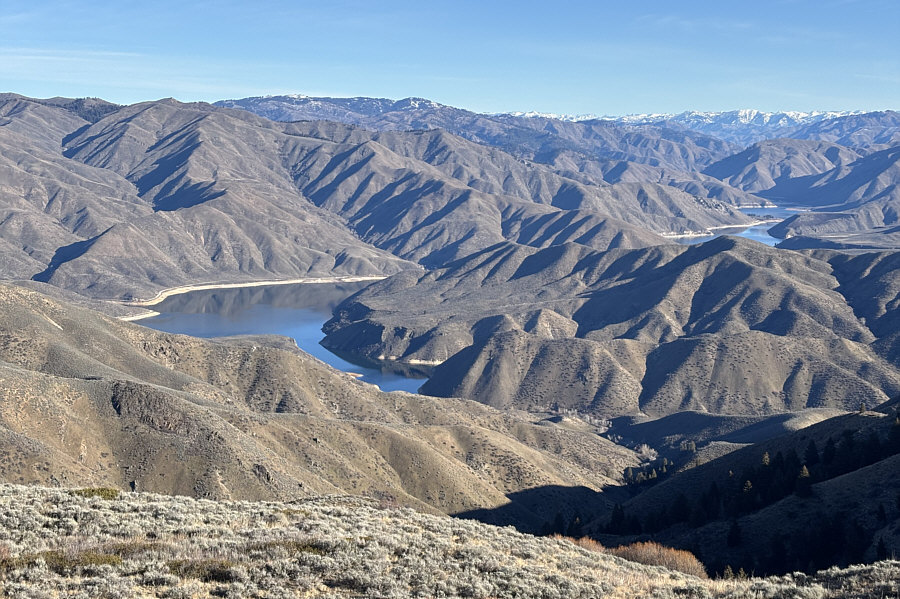 |
Arrowrock Reservoir (Boise River)
attracts all the attention to the northeast. |
 |
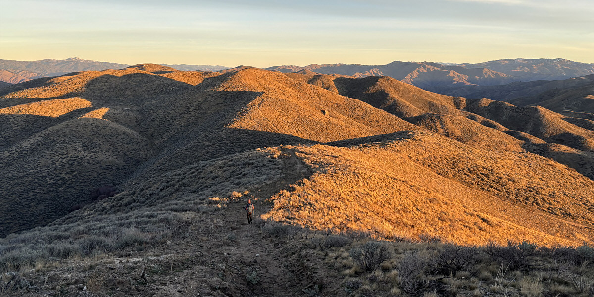
Zosia begins the long walk back to the
trailhead. |
 |
The sight of Three Point Mountain
(centre) means that the end of the long return hike is near. |
Zosia is treated to a nice view of the Boise Mountains
just before reaching the trailhead.
 |
Total Distance: 15.7 kilometres
Round-Trip Time: 5 hours 58 minutes
Cumulative Elevation Gain: 485 metres
GPX Data |