 |
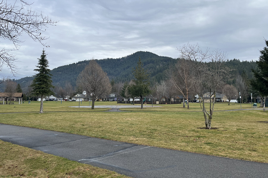
Here is a view of West Canfield Butte from Shadduck Lane Park in Coeur d'Alene. |
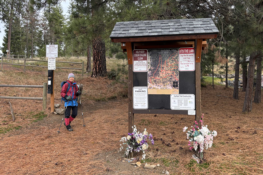 |
Zosia begins hiking at the trailhead along Mountain Vista Drive. |
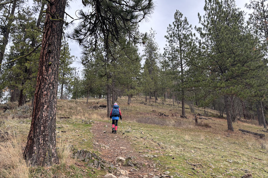 |
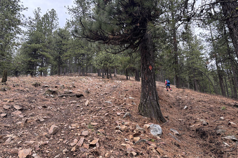
The ascent route essentially goes all the way up the southwest ridge. |
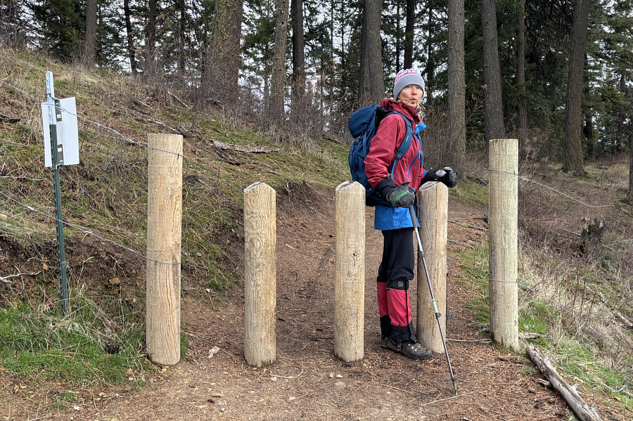 |
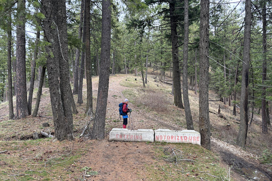
Zosia squeezes through a motorized vehicle barrier at the Idaho Panhandle National Forests boundary. |
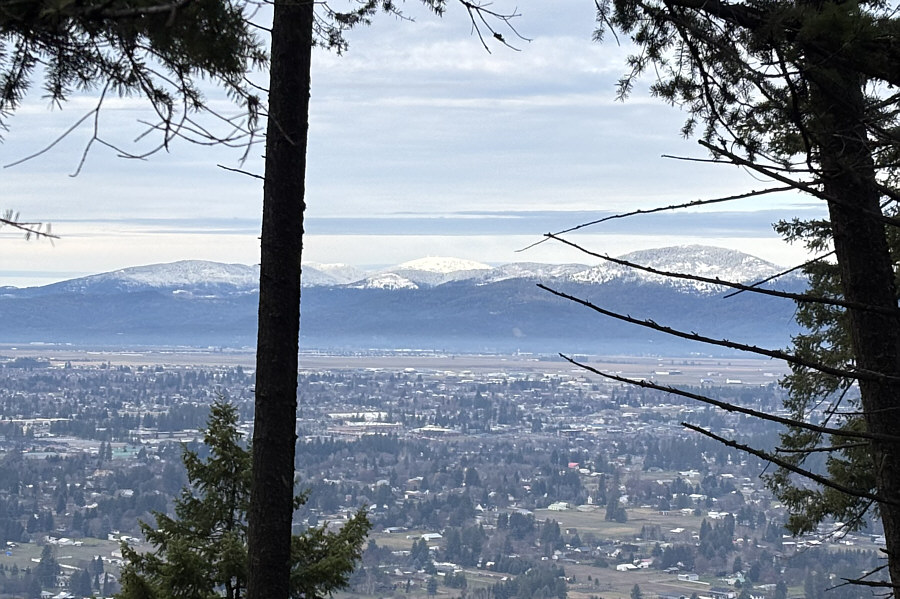 |
A break in the trees grants this view to the northwest of Mount Spokane (centre) which is in Washington state. |
 |
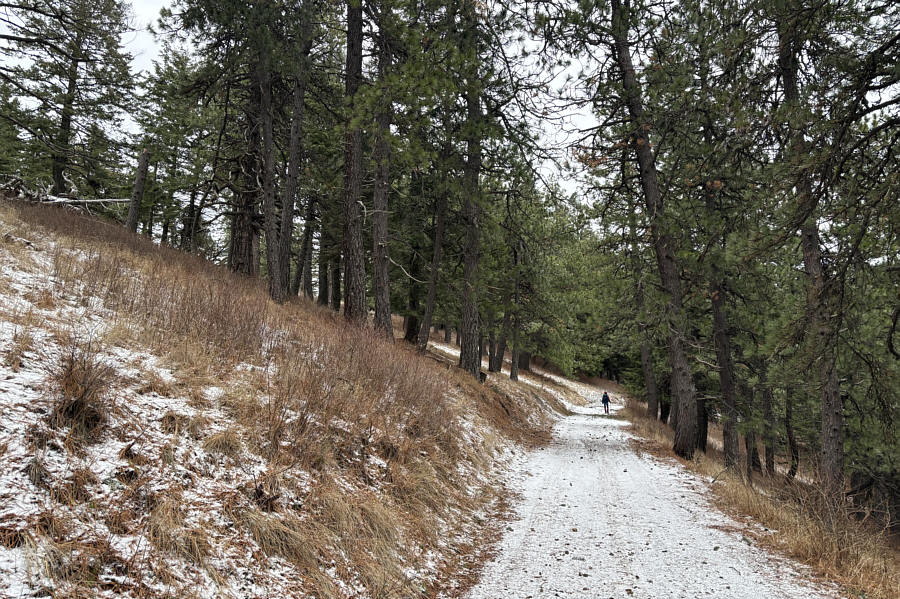
Being within the National Forest, the upper parts of West Canfield Butte have less restrictions on recreational use. |
 |
The trail is relentlessly steep near the top. |
 |
Telecommunications infrastructure crowd the top of the false summit. |
 |
Zosia continues along a road past the false summit. The true high point is up on the ridge to the left. |
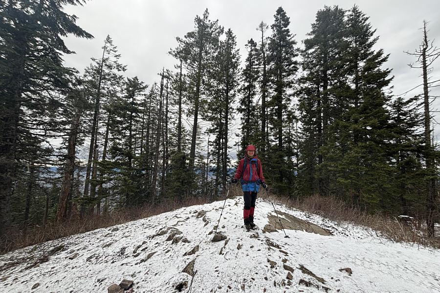 |
Zosia stands on the true high point of West Canfield Butte (1269 metres). |
 |
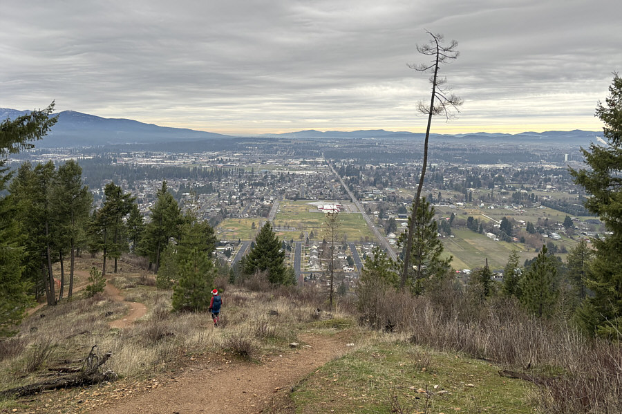
Some intriguing peaks of the St Joe Mountains can be seen to the southeast as Zosia returns to the false summit. |
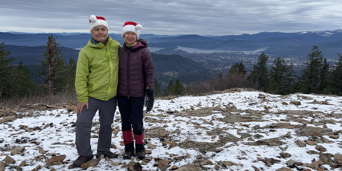
Sonny and Zosia don festive hats near the false summit with views of Coeur d'Alene and its namesake lake.
 |
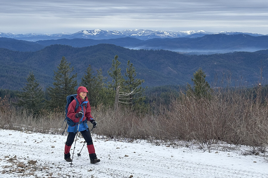
Zosia is treated to more views of the city as she descends the southwest ridge. |
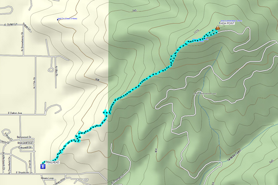 |
Total Distance: 7.0 kilometres Round-Trip Time: 3 hours 21 minutes Cumulative Elevation Gain: 573 metres |