With no reason to linger, Zosia and I dropped off the true high point and immediately picked up the continuation of the rim road. We then descended northward down the steep road and eventually closed our loop at the aforementioned breach. At this point in the day, temperatures had warmed up, and most of the fresh snow on the ground had melted. The unpredicted result was that the dirt road had turned into a muddy quagmire making travel difficult. Even going off-trail to the sides was not much better since the soil there was the same as the road. What should have been an easy hike back to our car turned into a messy and aggravating slog. Even before reaching our car, I was already worried about the condition of the access road for our drive out. As it turned out, the access road with its hardened surface was not as adversely affected by the wet conditions, and we thankfully had no issues driving out of the area. On our way out, we briefly considered tagging another nearby butte which would have been a much shorter trip, but a few muddy steps right at the beginning convinced us to immediately abandon that foolish idea and just call it a day.
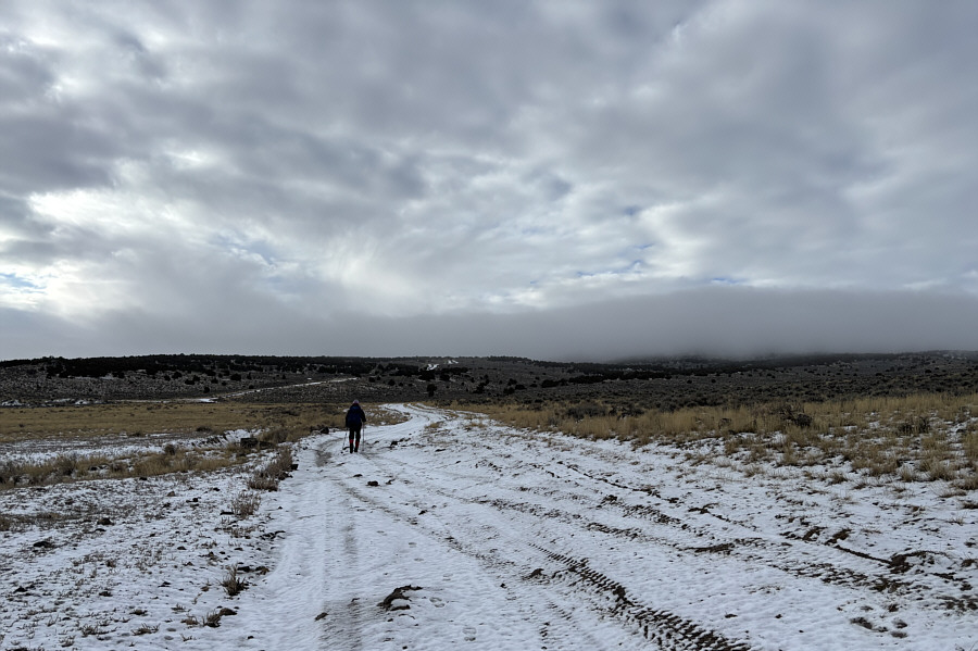 |
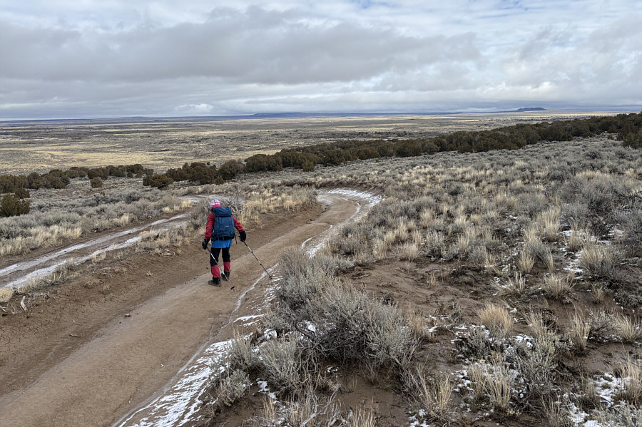
Zosia hikes a dirt road leading to Cedar Butte which is hidden in the mist ahead. |
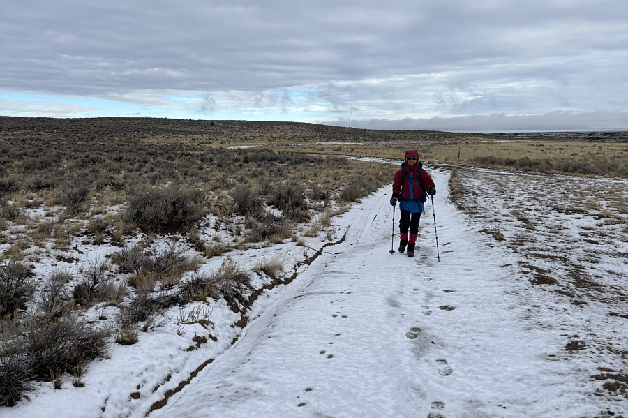 |
The fresh dusting of snow on the dirt road does not hinder Zosia's progress. |
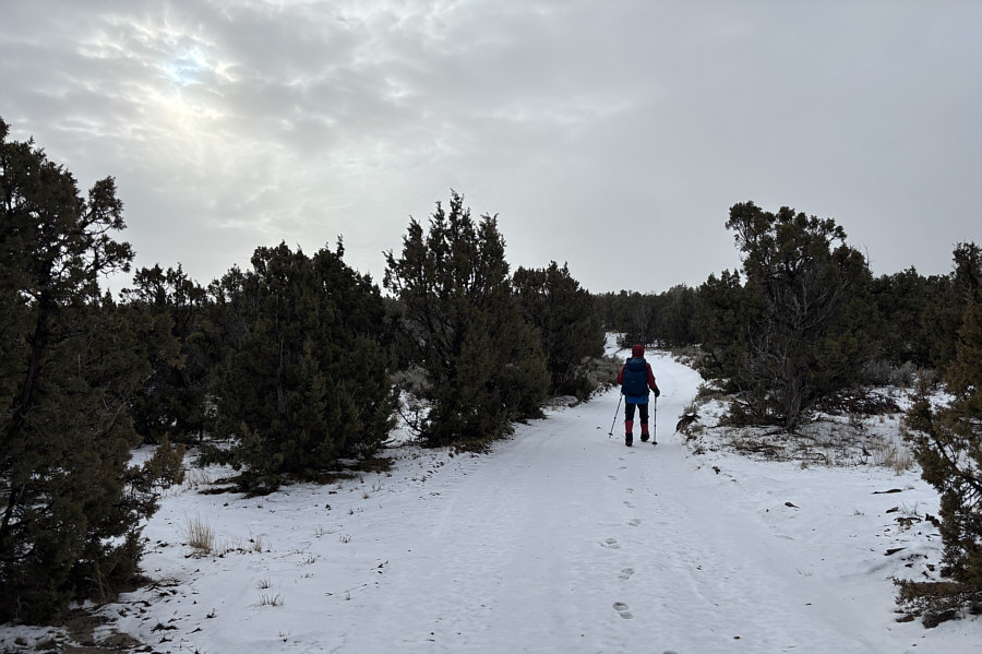 |
Zosia passes through a stretch of medium-sized juniper trees. |
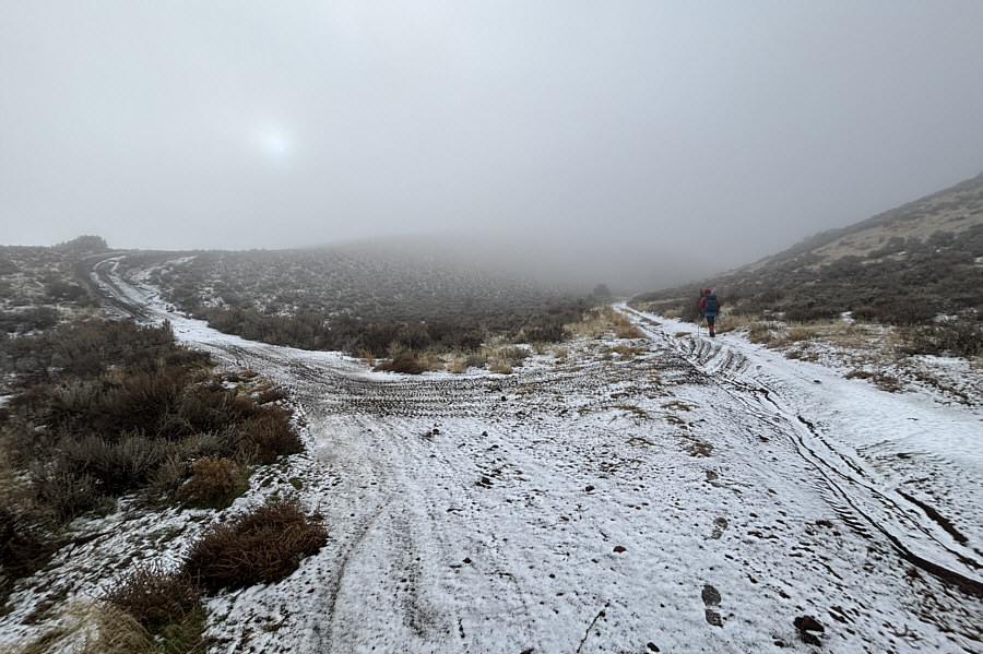 |
At this split in the road, the right-hand branch leads to the western rim of Cedar Butte while the left-hand branch leads to the eastern rim. |
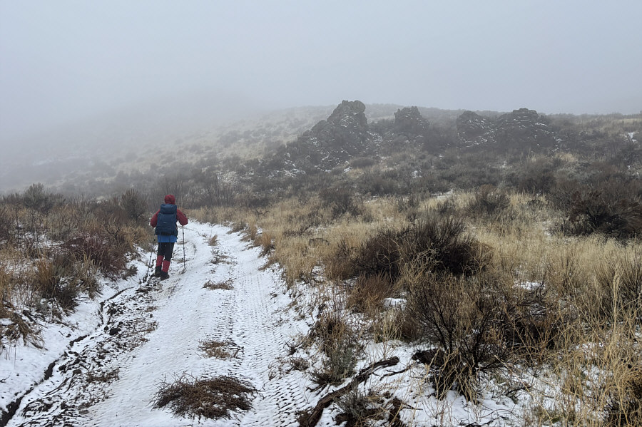 |
Zosia passes some hoodoo-like formations on her way up the western rim. |
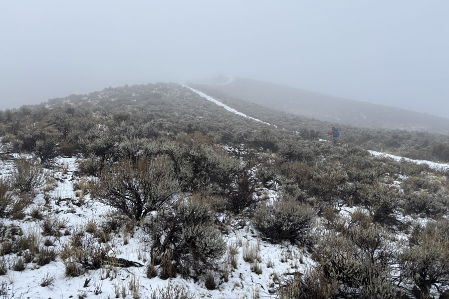 |
Zosia gains the crest of the western rim. |
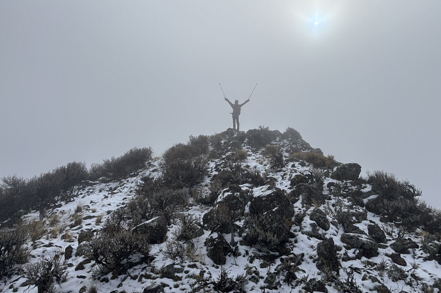 |
Zosia stands on the high point of Cedar Butte's western rim (S1; 1772 metres). |
 |
After circling around the south end of the rim, Zosia abandons the road here to avoid some unnecessary elevation loss. |
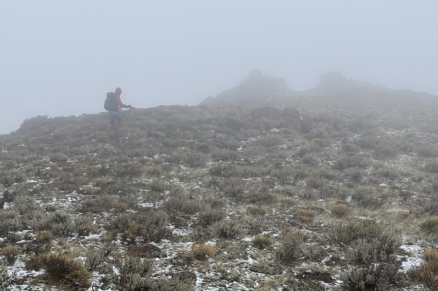 |
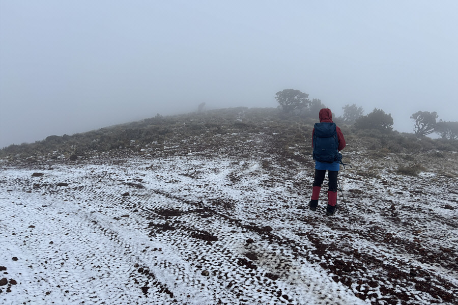
Near the top, some rock outcrops begin to appear through the mist. |
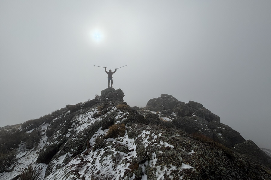 |
Zosia stands atop the true high point of Cedar Butte (1774 metres) on its eastern rim. |
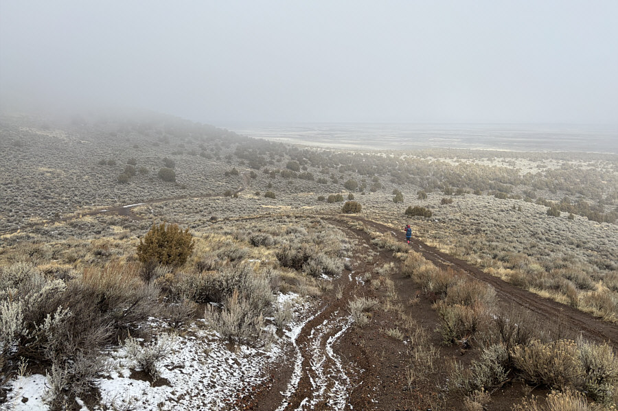 |
Dropping down the north end of the eastern rim, Zosia approaches the split (far left) to close the loop around the crater. |
 |
With most of the fresh snow melted, the dirt road has turned into a muddy track that is very challenging to hike. |
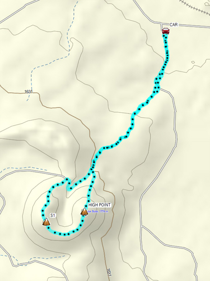 |
Total Distance: 7.9 kilometres Round-Trip Time: 2 hours 47 minutes Cumulative Elevation Gain: 255 metres |