BOU AVENUE
Star Peak

On 5 August 2026, Zosia Zgolak and I hiked up officially-named Star Peak--formerly known as Squaw Peak--located about sixteen kilometres northwest of Noxon, Montana.  A fire lookout tower sits atop the peak and is accessed by a couple of trails, the shortest and most popular being a combination of Historic Big Eddy Trail #999 and Big Eddy Trail #998.  I picked this objective mainly because the driving access is easy; the peak is even routinely ascended in winter.  With an elevation gain exceeding 1100 metres though, the ascent should not be taken lightly.

From State Highway 200, turn north onto Fatman Road (NF-2292; 2WD gravel) 7.0 kilometres west of the junction with State Highway 56 or 22.5 kilometres east of Clark Fork, Idaho.  Drive about 300 metres and park in a small pullout just past a culvert near the trailhead.

From the signed trailhead, Zosia and I quickly settled into a steady climb up Historic Big Eddy Trail which initially follows Big Eddy Creek before rising up the forested south ridge of Star Peak.  Lower down, there are a few open sections granting views of nearby Cabinet Gorge Reservoir (Clark Fork River), but for the most part, the trail is forested with little to see other than bushes and tree trunks.  About halfway up, Historic Big Eddy Trail merges with Big Eddy Trail at a signed junction, but the hiking felt the same as we continued ascending the ridge through more viewless forest.  Only near the top did the forest finally give way to more open slopes, but unfortunately on this day, wildfire haze obscured much of the distant views.  The fire lookout tower at the top was locked up on this day, but it is unclear if it is still manned from time to time or rented out as a backcountry shelter.
 
Zosia and I stopped for our usual lunch break near the summit before retreating along the same trail down the mountain.  The descent felt just as monotonous as the ascent, but at least we were moving a little faster going downhill.  We ultimately made it back to the trailhead without any issues and subsequently drove to a local private campground to grab a much needed shower.
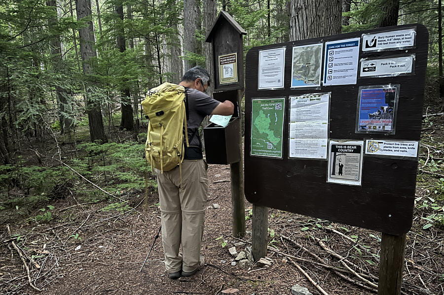
I didn't bother to register. Sonny checks out the self-registration forms at the trailhead for Historic Big Eddy Trail #999.

Photo courtesy of Zosia Zgolak


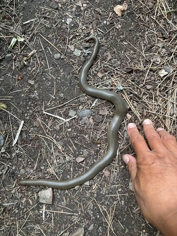
Guess where the head is! A rubber boa lies in the middle of the trail.

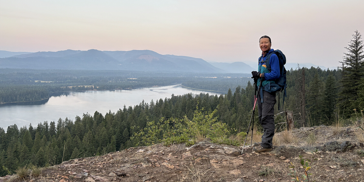
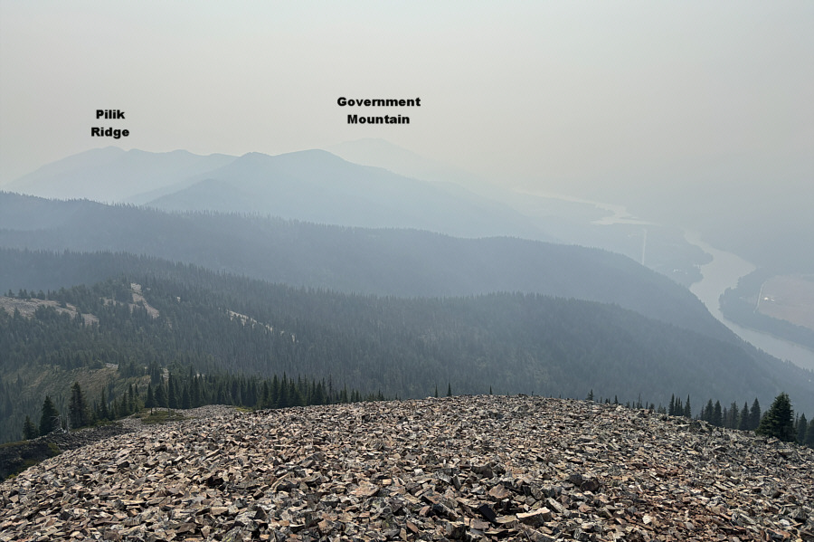
Probably the least smoky view of the day.

A clearing early in the hike grants this view of Cabinet Gorge Reservoir (Clark Fork River).
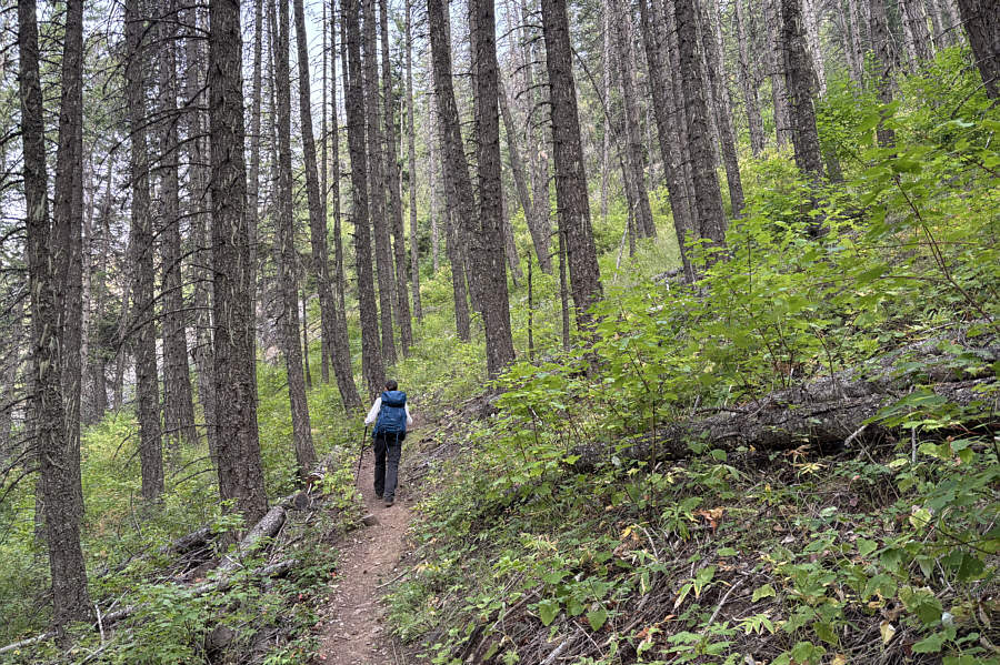
 

Meditation time again... Most of the trail climbs up through viewless forest.
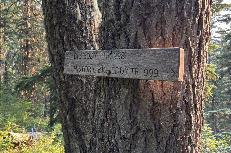
Who was Big Eddy? A sign marks the junction with Big Eddy Trail #998 which is the original trail to the top of Star Peak.
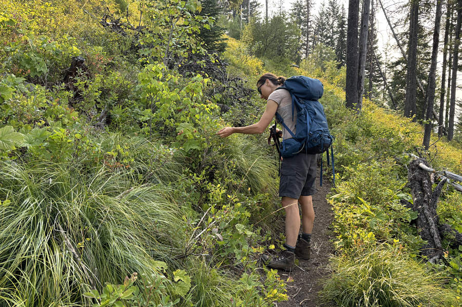
At least there's something to eat along the viewless trail! Zosia finds some ripe huckleberries along the trail.
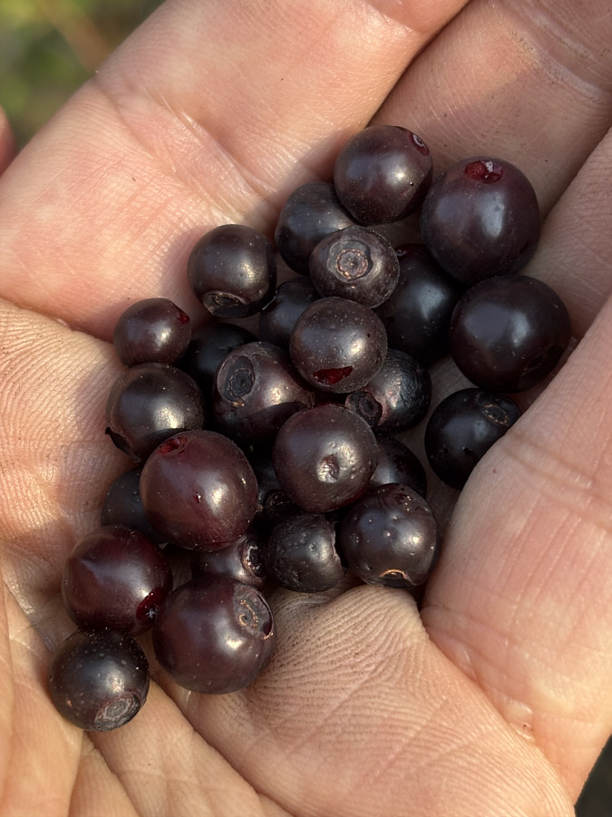
My hands are kinda filthy! Here is a handful of ripe huckleberries.
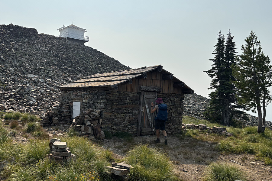
There's even an outhouse nearby! Zosia arrives at a well-kept cabin--built in 1910--just below the fire lookout tower atop Star Peak.
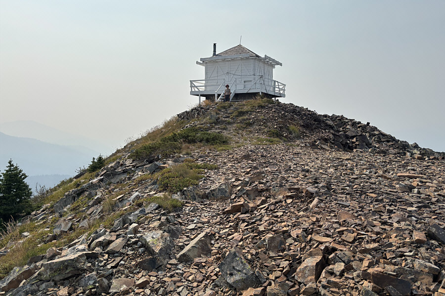
No one home today! The fire lookout tower atop Star Peak was built in 1956.  On some maps, it is still referred to as "Squaw Peak Lookout Station" since this mountain was formerly known as Squaw Peak (renamed in 2004).
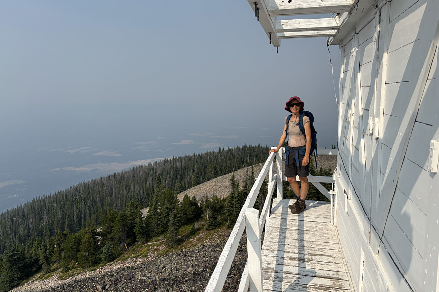
Nice views, eh? Zosia stands on the outside deck of the fire lookout tower.
A couple more future hiking objectives... A few nearby high points are visible to the southeast through the murky wildfire haze.
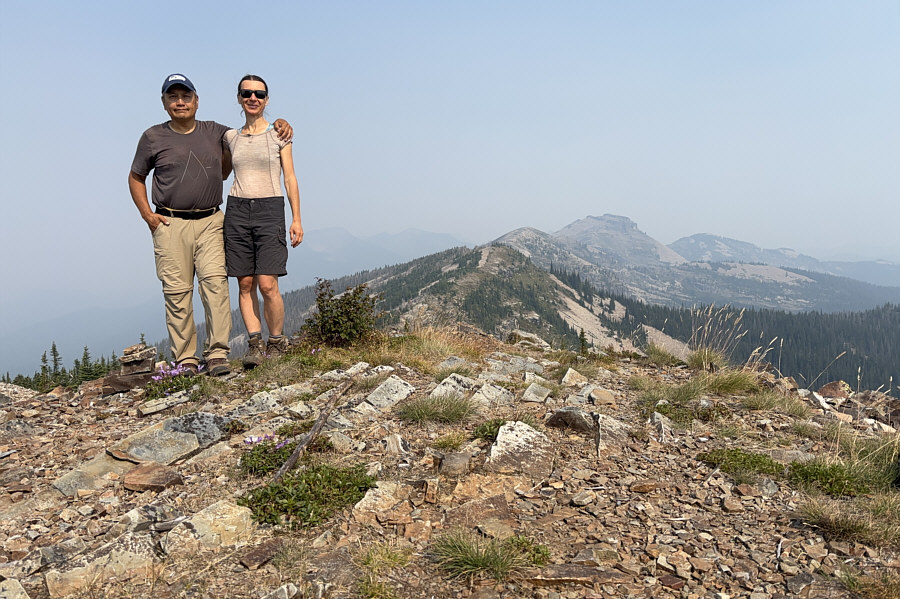
Looks like it would be a great ridge walk to Billiard Table from here. Sonny and Zosia stand near the summit of Star Peak (1880 metres).  The tallest mountain at distant right is known as Billiard Table.
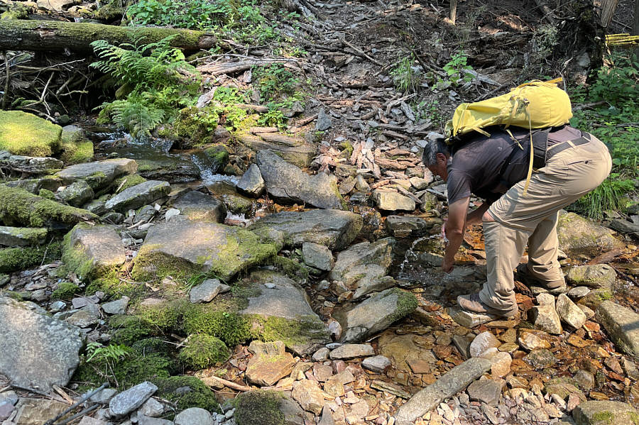
Pre-wash for the shower we would have a short time later! Not far from the trailhead, Sonny stops at Big Eddy Creek to splash himself with some refreshingly cold water.

Photo courtesy of Zosia Zgolak

Na zdrowie i smacznego! After having a refreshing shower, Zosia enjoys a beer with dinner at a rest area near Troy, Montana.
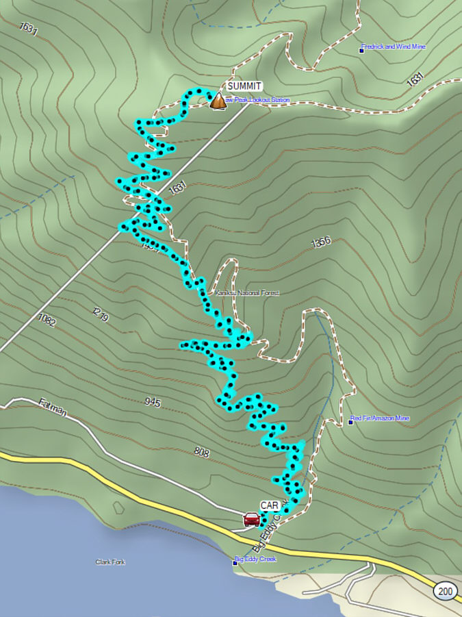
Another "grind" hike that should be saved for a day with clearer weather. Total Distance:  17.6 kilometres
Round-Trip Time:  8 hours 18 minutes
Cumulative Elevation Gain:  1152 metres

GPX Data